Home
Images
Vectors
Videos
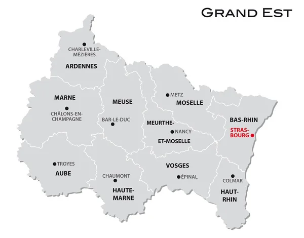
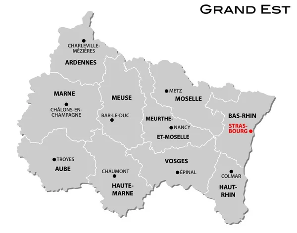
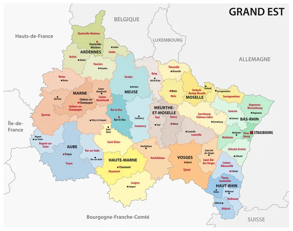
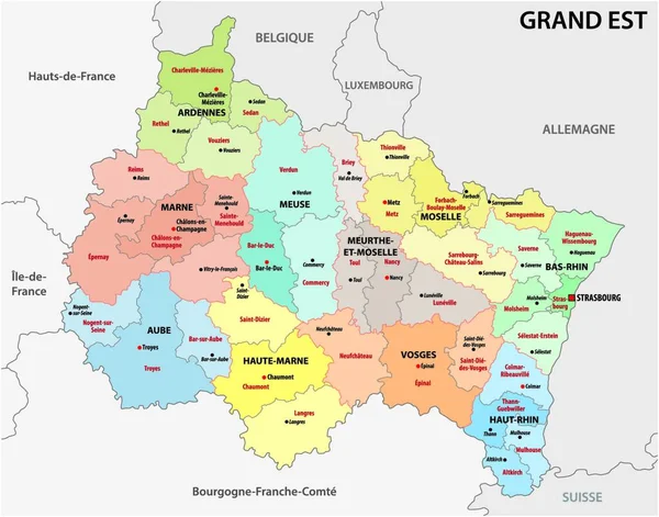
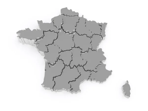
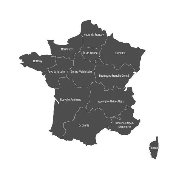
Stock vector Grand Est administrative map divided in departments with labels, France
Published:
Jul.02, 2021 06:13:20
Author:
luisrftc
Views:
6
Downloads:
0
File type:
vector
/
eps
File size:
8.27 MB
Orginal size:
5000
x
4374
px
Available sizes:
S
(500 x 437)
M
(1000 x 875)
L
(2000 x 1750)
XL
(5000 x 4374)
VECT
(5000 x 4374)
EL0
(5000 x 4374)
Level:
bronze
Download Vector
Vector topics:
Vector
Background
Graphic
Illustration
Isolated
Travel
Texture
French
Border
Center
City
France
Tourism
Detailed
Famous
Champagne
Outline
District
Map
Cartography
Geography
Plan
Area
Overview
State
Guide
Review
Government
Political
Administrative
Department
Region
Division
Prefecture
Sub
Province
County
Greater
Mapping
Meuse
Lorraine
Vosges
Boroughs
Moselle
Ardennes
Aube
Marne
Meurthe Et Moselle
Grand Est
Similar stock vectors
Simple Gray Administrative Map Of The New French Region Grand Est
3955 × 3100
Simple Gray Administrative Map Of The New French Region Grand Est
4000 × 3890
Grand Est French Region Map
4094 × 4876
Administrative Map Of The New French Region Grand Est
3930 × 3100
Administrative Map Of The New French Region Grand Est
4000 × 3884
Three-dimensional Map Of France.
5600 × 4200
High Quality Map Region Of France
4000 × 4000
Grey Map Of France Divided Into 13 Administrative Metropolitan Regions, Since 2016. Vector Illustration
6000 × 6000