Home
Images
Vectors
Videos
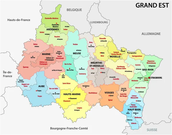
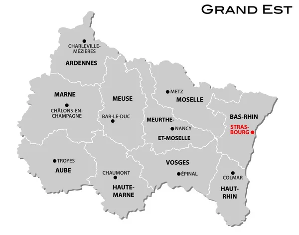
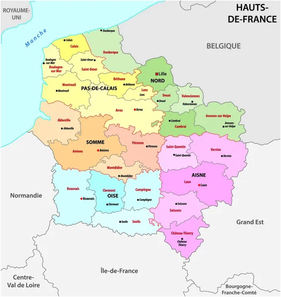
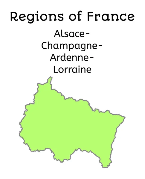
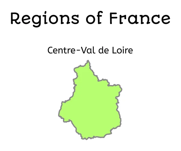
Stock vector Grand Est french region map
Published:
Nov.11, 2016 09:06:57
Author:
MariaShmitt
Views:
364
Downloads:
1
File type:
vector
/
eps
File size:
1.85 MB
Orginal size:
4094
x
4876
px
Available sizes:
S
(420 x 500)
M
(840 x 1000)
L
(1679 x 2000)
XL
(4094 x 4876)
VECT
(4094 x 4876)
EL0
(4094 x 4876)
Level:
beginner
Download Vector
Vector topics:
White
Vector
Illustration
Isolated
Travel
French
Silhouette
Physical
France
Europe
Outline
Map
Cartography
Geography
Geographic
Region
Geographical
Regions
Grand Est
Similar stock vectors
Hauts-de-France French Region Map
4681 × 4259
Centre-Val De Loire French Region Map
4597 × 4337
Administrative Map Of The New French Region Grand Est
4000 × 3884
Grand Est Administrative Map Divided In Departments With Labels, France
5000 × 4374
Simple Gray Administrative Map Of The New French Region Grand Est
4000 × 3890
Administrative Map Of The New French Region Hauts De France
3975 × 4000
France Administrative Map Of Alsace-Champagne-Ardenne-Lorraines
4021 × 4968
France Administrative Map Of Centre-Val De Loire
4888 × 4085