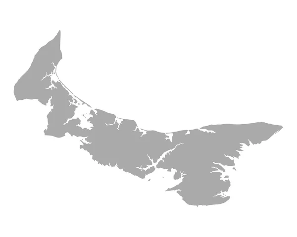
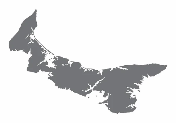
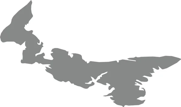
Stock vector Gray flat blank vector administrative map of the Canadian province of PRINCE EDWARD ISLAND, CANADA
Published: Jan.19, 2022 08:54:01
Author: momcilo.jovanov
Views: 2
Downloads: 0
File type: vector / eps
File size: 0.41 MB
Orginal size: 6000 x 3562 px
Available sizes:
Level: bronze
Similar stock vectors
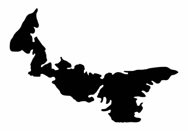

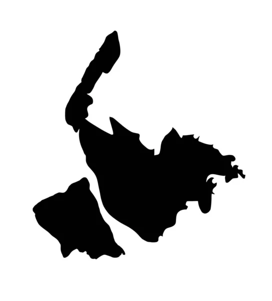
Black Flat Blank Vector Administrative Map Of The Canadian Province Of PRINCE EDWARD ISLAND, CANADA
6000 × 3562