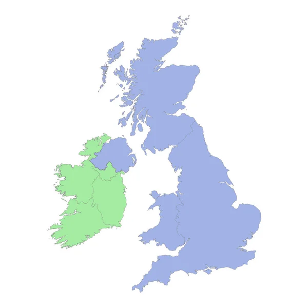
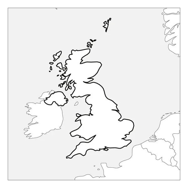
Stock vector Great Britain island (Kingdom of Great Britain, British Isles, England, Scotland, Wales) map vector illustration, scribble sketch map

Published: Aug.02, 2021 11:20:00
Author: Danler
Views: 1
Downloads: 0
File type: vector / eps
File size: 1 MB
Orginal size: 7087 x 4726 px
Available sizes:
Level: bronze