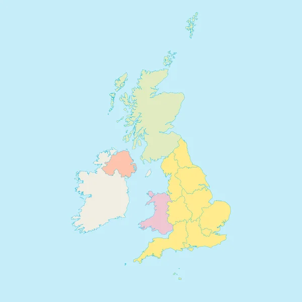
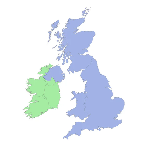
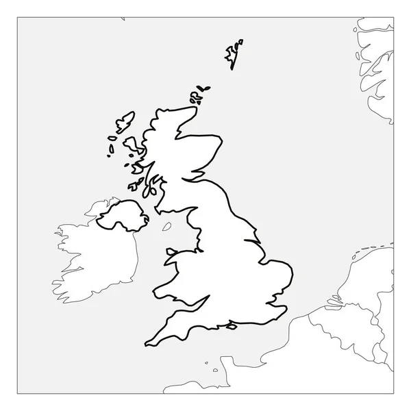
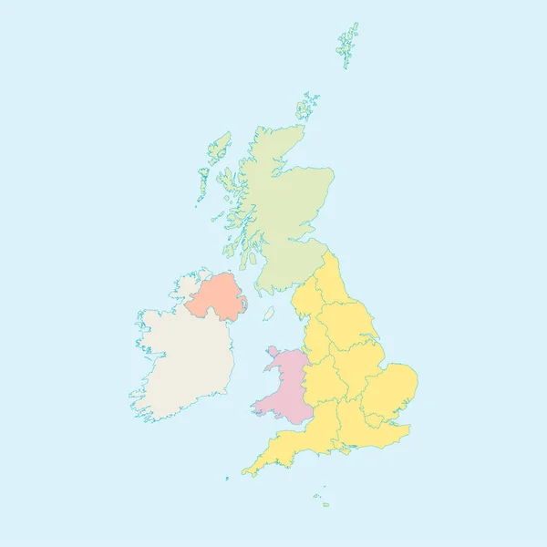
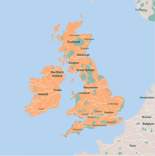
Stock vector High quality political map of United Kingdom and Ireland with borders of the regions or provinces. Vector illustration
Published: Mar.21, 2023 18:54:52
Author: grebeshkovmaxim@gmail.com
Views: 2
Downloads: 0
File type: vector / eps
File size: 2.35 MB
Orginal size: 4000 x 4000 px
Available sizes:
Level: silver
Similar stock vectors


Vector Map Great Britain. Isolated Vector Illustration. Black On White Background. EPS 10 Illustration.
5003 × 5010