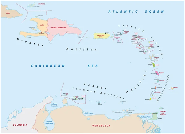
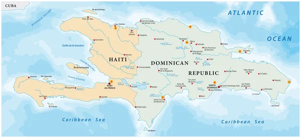
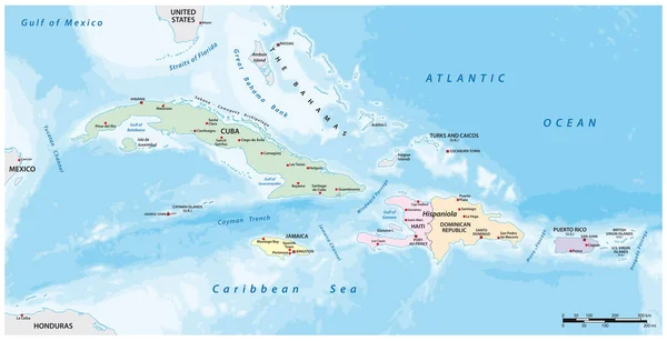
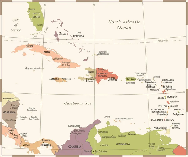
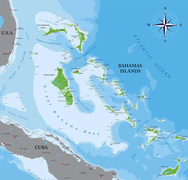
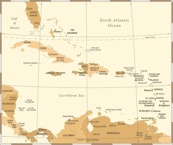
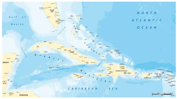
Stock vector Greater Antilles political vector map with English labeling
Published: Apr.11, 2022 07:47:07
Author: Lesniewski
Views: 19
Downloads: 2
File type: vector / eps
File size: 4.48 MB
Orginal size: 5515 x 3100 px
Available sizes:
Level: bronze