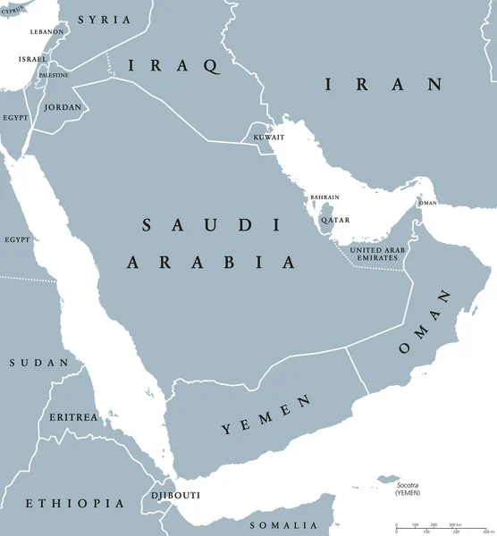
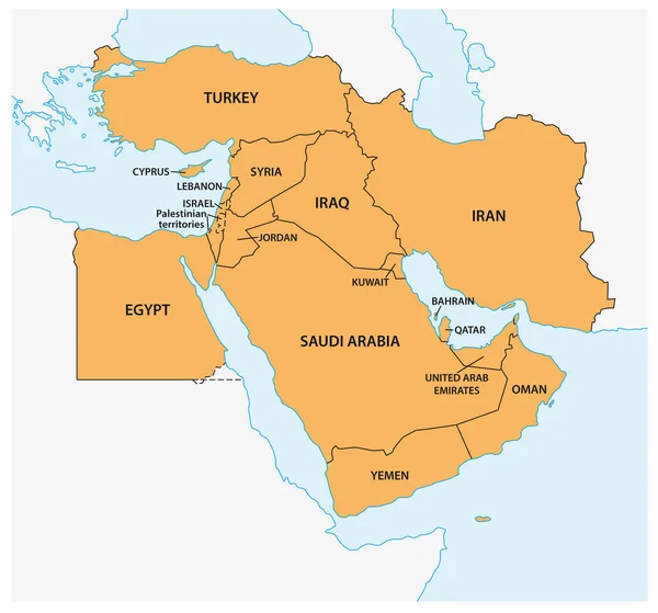
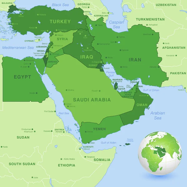
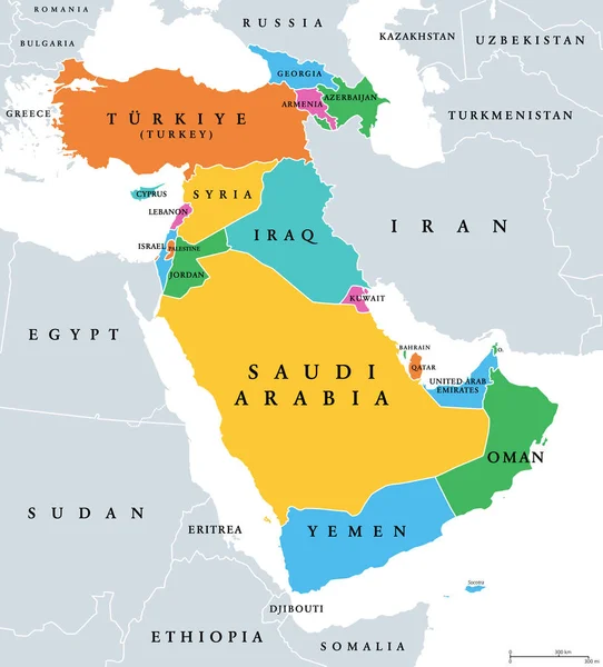
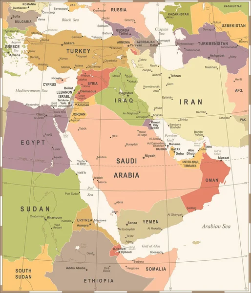
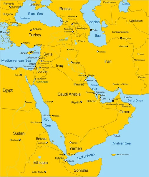
Stock vector High detail map of the Middle East Zone with Countries, Capitals, Main Cities and Seas and islands names in classic soft colors palette.

Published: Sep.03, 2018 16:17:16
Author: pingebat
Views: 321
Downloads: 3
File type: vector / eps
File size: 2.24 MB
Orginal size: 7796 x 7796 px
Available sizes:
Level: silver