photo free
Home Images Vectors Videos

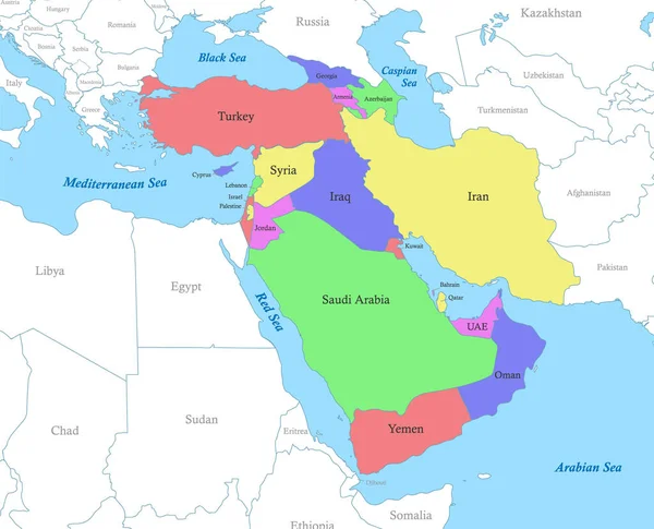
Stock vector Political color map of Arabian Peninsula with borders of the states.

Stock vector Political color map of Arabian Peninsula with borders of the states.
Published: Mar.21, 2023 18:54:57
Author: grebeshkovmaxim@gmail.com
Views: 27
Downloads: 2
File type: vector / eps
File size: 2.53 MB
Orginal size: 4945 x 4000 px
Available sizes:
S
(500 x 404)
M
(1000 x 809)
L
(2000 x 1618)
XL
(4945 x 4000)
VECT
(4945 x 4000)
EL0
(4945 x 4000)
Level: silver
Download Vector
Vector topics:

Similar stock vectors

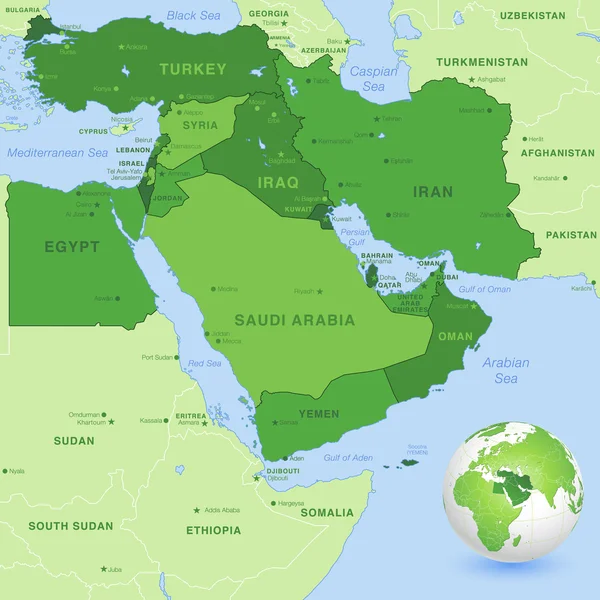
stock vector Vector Middle East Green Map

Vector Middle East Green Map

5610 × 5610
stock vector Political color map of Western Asia with borders of the states.

Political Color Map Of Western Asia With Borders Of The States.

4945 × 4000
stock vector High detail map of the Middle East Zone with Countries, Capitals, Main Cities and Seas and islands names in classic soft colors palette.

High Detail Map Of The Middle East Zone With Countries, Capitals, Main Cities And Seas And Islands Names In Classic Soft Colors Palette.

7796 × 7796
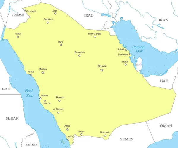
stock vector Political map of Saudi Arabia with national borders, cities and rivers

Political Map Of Saudi Arabia With National Borders, Cities And Rivers

4800 × 4000
stock vector Arabian Peninsula Political Map

Arabian Peninsula Political Map

9311 × 7224
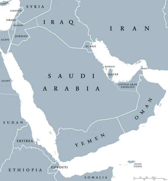
stock vector Arabian peninsula countries political map

Arabian Peninsula Countries Political Map

7725 × 8333