Home
Images
Vectors
Videos
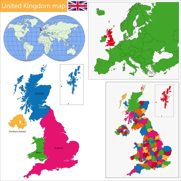
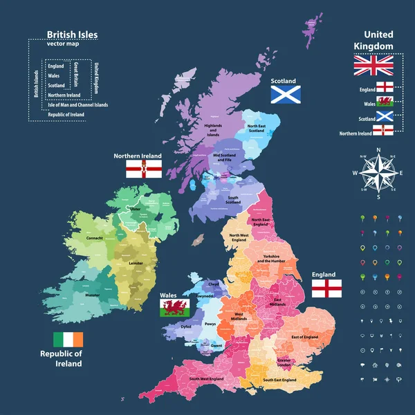
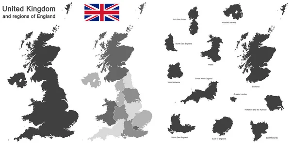
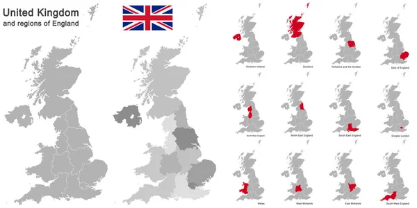
Stock vector high-detailed administrative units map of United Kingdom. All elements entitled and easy-to-use
Published:
Aug.22, 2016 05:35:48
Author:
Jktu_21
Views:
329
Downloads:
22
File type:
vector
/
eps
File size:
14.61 MB
Orginal size:
7292
x
6127
px
Available sizes:
S
(500 x 420)
M
(1000 x 840)
L
(2000 x 1680)
XL
(7292 x 6127)
VECT
(7292 x 6127)
EL0
(7292 x 6127)
Level:
silver
Download Vector
Vector topics:
Map
London
England
Yorkshire
Merseyside
Wales
Scotland
County
Staffordshire
Derbyshire
Kent
Hampshire
Cheshire
Lancashire
Essex
Glasgow
Devon
Surrey
Somerset
Belfast
Cardiff
Lincolnshire
Hertfordshire
Great Britain
United Kingdom
Nottinghamshire
City Of London
Northern Ireland
Leicestershire
England Flag
North Yorkshire
West Midlands
Greater London
North East England
Tyne And Wear
West Yorkshire
North West England
United Kingdom Flag
South East England
Northern Ireland Flag
Greater Manchester
South Yorkshire
Scotland Map
Scotland Flag
England Map
Location Icons
Northern Ireland Map
United Kingdom Map
Wales Flag
Wales Map
Similar stock vectors
United Kingdom Map
7004 × 7004
Vector Map Of British Isles Administrative Divisions Colored By Countries And Regions. Districts And Counties Maps And Flags Of United Kingdom,Northern Ireland, Wales, Scotland And Republic Of Ireland
7292 × 7292
Detailed Map Of United Kingdom With Flag, Border Of Regions And Country. Purple, Yellow, Green.
5329 × 6793
European Country United Kingdom And Regions Of England
4000 × 2583
European Country United Kingdom And Regions Of England
11811 × 5906
European Country United Kingdom And Regions Of England
11811 × 5906
United Kingdom Map - Vector Infographic Set. Vector Illustration
5994 × 5251
United Kingdom Map
7021 × 7200