Home
Images
Vectors
Videos
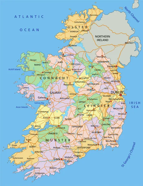
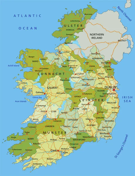
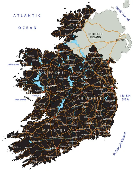
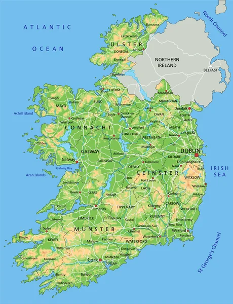
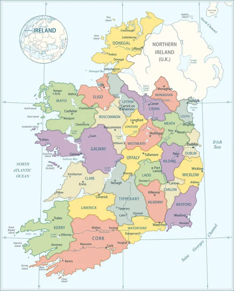
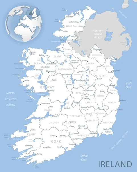
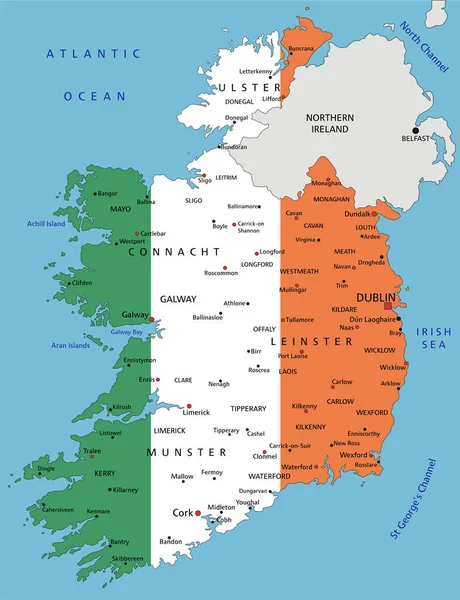
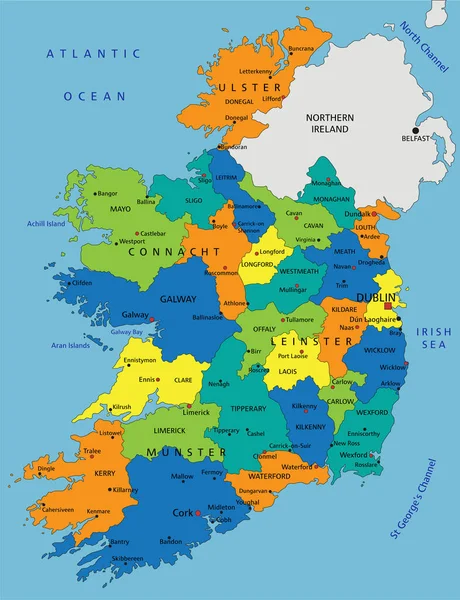
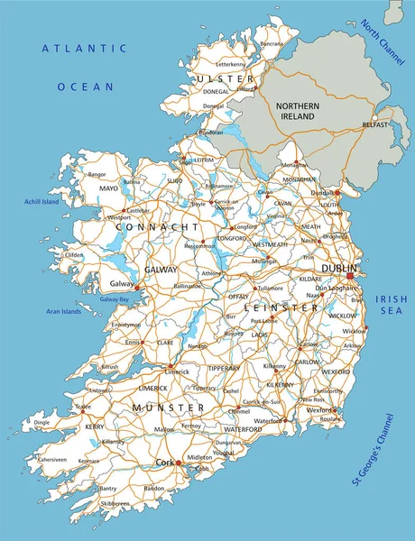
Stock vector High detailed Ireland road map with labeling.
Published:
Feb.02, 2022 09:16:53
Author:
delpieroo
Views:
7
Downloads:
0
File type:
vector
/
eps
File size:
6.77 MB
Orginal size:
4353
x
5672
px
Available sizes:
S
(384 x 500)
M
(767 x 1000)
L
(1535 x 2000)
XL
(4353 x 5672)
VECT
(4353 x 5672)
EL0
(4353 x 5672)
Level:
bronze
Download Vector
Vector topics:
White
Vector
Graphic
Colored
Illustration
Label
Transport
Transportation
Sea
European
Road
City
Contour
Relief
Town
Capital
Europe
East
South
Outline
Country
Map
Cartography
Geography
National
Continent
Ireland
Land
Middle
Topography
Terrain
Island
Eu
Britain
English
Editable
Territory
Atlas
Irish
Dublin
Mapping
Rivers
Shaded
Eire
Galway
Republic Of Ireland
Similar stock vectors
Ireland - Highly Detailed Editable Political Map With Labeling.
4353 × 5672
Highly Detailed Editable Political Map With Separated Layers. Ireland.
4353 × 5672
High Detailed Ireland Road Map With Labeling.
4353 × 5672
High Detailed Ireland Physical Map With Labeling.
4353 × 5672
Map Of Ireland - Highly Detailed Vector Illustration
4070 × 5056
Blue-gray Detailed Map Of Ireland Administrative Divisions And Location On The Globe. Vector Illustration
5206 × 6494
Ireland Highly Detailed Political Map With National Flag.
4353 × 5672
Colorful Ireland Political Map With Clearly Labeled, Separated Layers. Vector Illustration.
4353 × 5672