Home
Images
Vectors
Videos
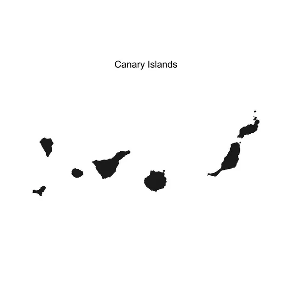
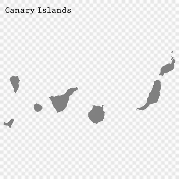
Stock vector High detailed vector map of Canary Islands with navigation pins.
Published:
Jul.23, 2014 20:49:32
Author:
tkacchuk
Views:
315
Downloads:
3
File type:
vector
/
eps
File size:
3.28 MB
Orginal size:
5867
x
5867
px
Available sizes:
S
(500 x 500)
M
(1000 x 1000)
L
(2000 x 2000)
XL
(5867 x 5867)
VECT
(5867 x 5867)
EL0
(5867 x 5867)
Level:
silver
Download Vector
Vector topics:
Vector
Illustration
Travel
Black
Silhouette
Border
Symbol
Icon
City
Mark
Flat
Contour
Pin
World
Detailed
Navigation
Point
Pointer
Outline
Country
District
Direction
Map
Cartography
Geography
Area
Metropolis
Location
Place
Countries
Government
Political
Administrative
Region
Marker
Gps
Province
Nation
Mapa
Canarias
Isolated On White
Canary Islands
Similar stock vectors
Outline Map Of The Canary Islands. Vector Illustration.
5000 × 5000
Map Of The Canary Islands. Vector Illustration
5000 × 5000
Map Of Canary Islands, Spain, With Labels Of Each Island - El Hierro, La Palma, La Gomera, Tenerife, Gran Canaria, Fuerteventura And Lanzarote. Black Vector Silhouette On White Background
4800 × 3600
High Quality Map Is A State Of Spain
4000 × 4000
Vector Illustration Of Black Silhouette Canary Islands.
4500 × 4500
Dot Pattern Map Of Lanzarote Islands
5162 × 3808
Map Of Canary Islands, Spain, With Labels Of Each Island - El Hierro, La Palma, La Gomera, Tenerife, Gran Canaria, Fuerteventura And Lanzarote. Black Vector Silhouette On White Background
4800 × 3600
Map Of Canary Islands, Spain, With Labels Of Each Island - El Hierro, La Palma, La Gomera, Tenerife, Gran Canaria, Fuerteventura And Lanzarote. Vector Silhouette On White Background
4800 × 3600