Home
Images
Vectors
Videos
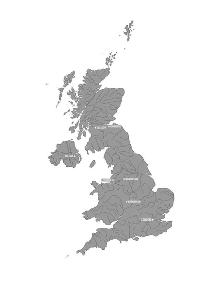
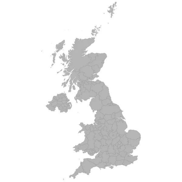
Stock vector High quality map of United Kingdom with borders of the regions on white background
Published:
Sep.10, 2018 09:52:48
Author:
grebeshkovmaxim@gmail.com
Views:
20
Downloads:
2
File type:
vector
/
eps
File size:
2.43 MB
Orginal size:
4000
x
4000
px
Available sizes:
S
(500 x 500)
M
(1000 x 1000)
L
(2000 x 2000)
XL
(4000 x 4000)
VECT
(4000 x 4000)
EL0
(4000 x 4000)
Level:
silver
Download Vector
Vector topics:
Color
Vector
Background
Graphic
Colored
Illustration
Design
Isolated
Shape
New
Art
Black
Silhouette
Border
Modern
Concept
City
Communication
Flat
Contour
Grey
Simple
Outline
Country
Map
Cartography
Geography
Area
Continent
Uk
Trip
Asia
State
Administrative
Department
Britain
Region
Division
British
Territory
County
Regional
Districts
Provinces
United Kingdom
Similar stock vectors
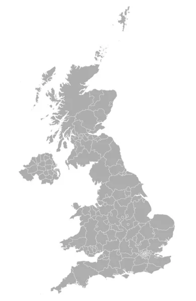
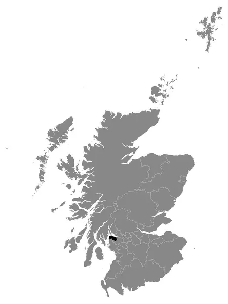
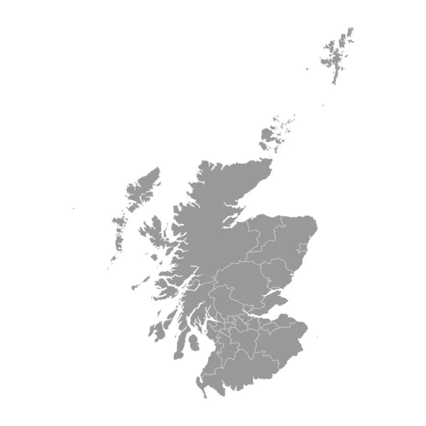
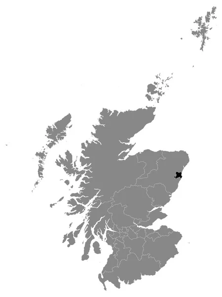
Detailed Vector Maps Of The United Kingdom Regions And Administrative Areas In Grey Color
2974 × 4575
Vector Map Of United Kingdom. Great Britain Print - Vector
2500 × 3333
Black Location Map Of Scottish Council Area Of Inverclyde Within Grey Map Of Scotland
3600 × 4800
Scotland Grey Map With Council Areas. Vector Illustration.
8334 × 8334
Black Location Map Of Scottish Council Area Of City Of Aberdeen Within Grey Map Of Scotland
3600 × 4800
Map Of Great Britain
4805 × 5067
Dundee City Map, Council Area Of Scotland. Vector Illustration.
8334 × 8334
Black Location Map Of Scottish Council Area Of Shetland Islands Within Grey Map Of Scotland
3600 × 4800