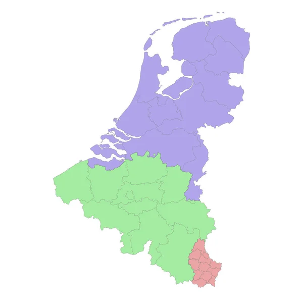
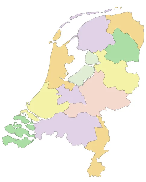
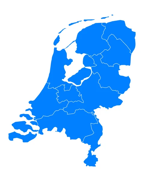
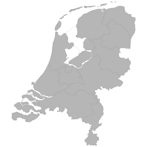
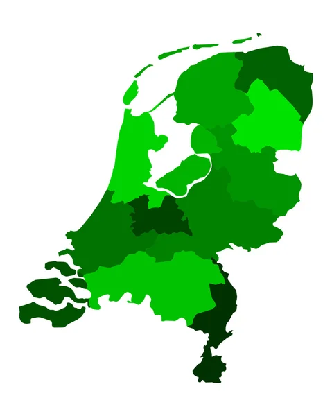
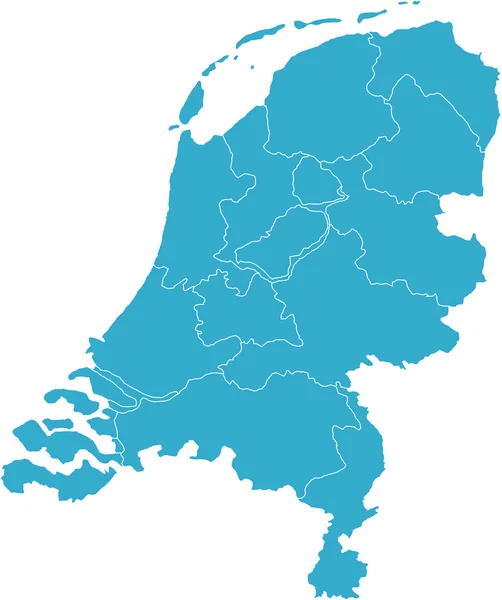
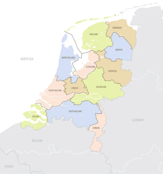
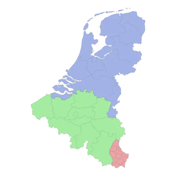
Stock vector High quality political map of Belgium and Netherlands with borders of the regions or provinces. Vector illustration
Published: Mar.21, 2023 18:54:57
Author: grebeshkovmaxim@gmail.com
Views: 0
Downloads: 0
File type: vector / eps
File size: 1.51 MB
Orginal size: 4000 x 4000 px
Available sizes:
Level: silver