photo free
Home Images Vectors Videos

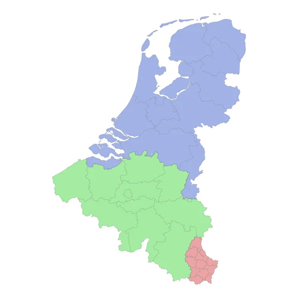
Stock vector High quality political map of Belgium, Netherlands and Luxembourg with borders of the regions or provinces. Vector illustration
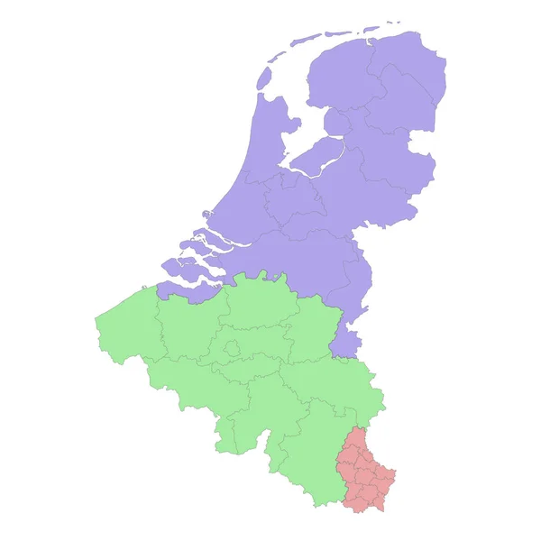
Stock vector High quality political map of Belgium, Netherlands and Luxembourg with borders of the regions or provinces. Vector illustration
Published: Mar.21, 2023 18:54:57
Author: grebeshkovmaxim@gmail.com
Views: 1
Downloads: 0
File type: vector / eps
File size: 1.51 MB
Orginal size: 4000 x 4000 px
Available sizes:
S
(500 x 500)
M
(1000 x 1000)
L
(2000 x 2000)
XL
(4000 x 4000)
VECT
(4000 x 4000)
EL0
(4000 x 4000)
Level: silver
Download Vector
Vector topics:

Similar stock vectors

stock vector High quality political map of Belgium and Netherlands with borders of the regions or provinces. Vector illustration

High Quality Political Map Of Belgium And Netherlands With Borders Of The Regions Or Provinces. Vector Illustration

4000 × 4000
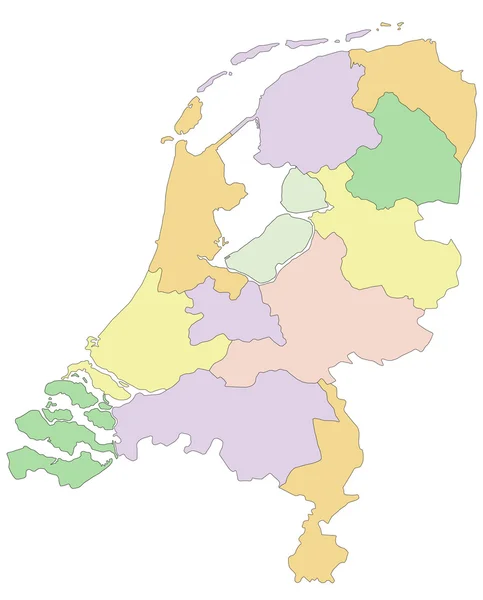
stock vector Netherlands -  political map

Netherlands - Political Map

4572 × 5670
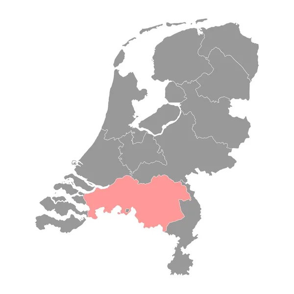
stock vector North Brabant province of the Netherlands. Vector illustration.

North Brabant Province Of The Netherlands. Vector Illustration.

8334 × 8334
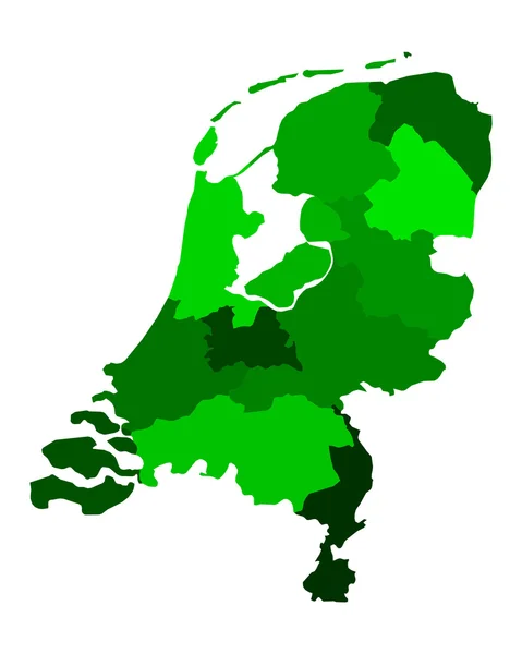
stock vector Map of thr Netherlands

Map Of Thr Netherlands

4000 × 5000
stock vector Map of the Netherlands

Map Of The Netherlands

4000 × 5000
stock vector Netherlands gray map with provinces. Vector illustration.

Netherlands Gray Map With Provinces. Vector Illustration.

8334 × 8334
stock vector High quality map of Netherlands with borders of the regions on white background

High Quality Map Of Netherlands With Borders Of The Regions On White Background

4000 × 4000
stock vector High quality map of Netherlands . Vector illustration

High Quality Map Of Netherlands . Vector Illustration

4000 × 4000