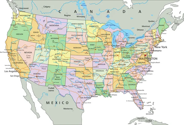
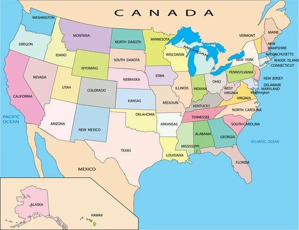
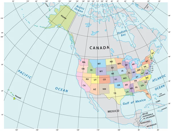
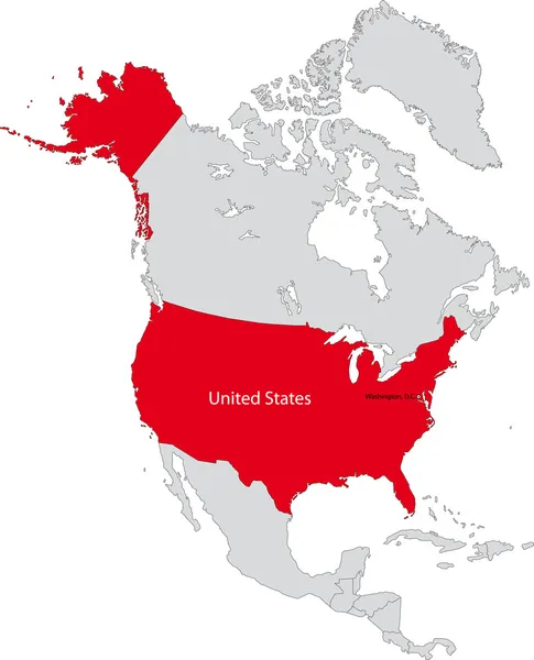
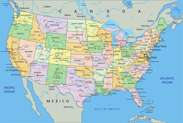
Stock vector Highly detailed political map of the USA with borders countries and cities

Published: Dec.28, 2020 19:53:43
Author: Eugene_B-sov
Views: 3
Downloads: 0
File type: vector / eps
File size: 9.98 MB
Orginal size: 6000 x 4000 px
Available sizes:
Level: beginner