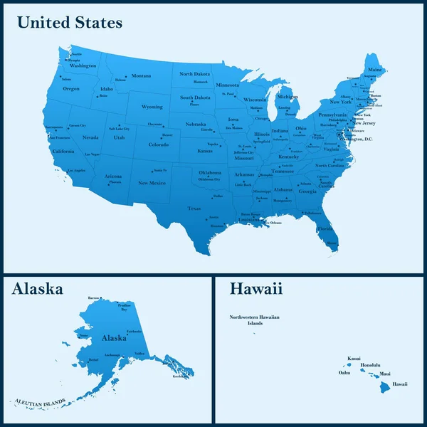
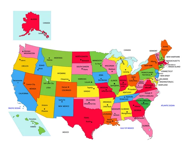
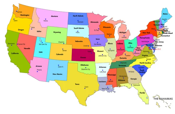
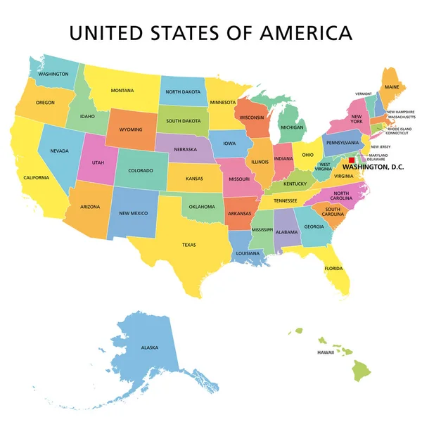
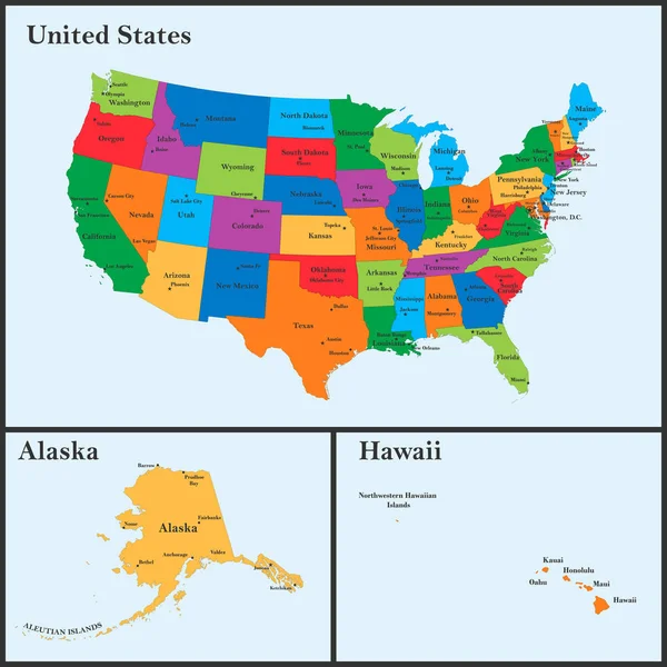
Stock vector The detailed map of the USA including Alaska and Hawaii. The United States of America with the capitals and the biggest cities
Published: Apr.18, 2022 12:49:49
Author: -panya-
Views: 737
Downloads: 4
File type: vector / eps
File size: 3.49 MB
Orginal size: 5000 x 5000 px
Available sizes:
Level: bronze