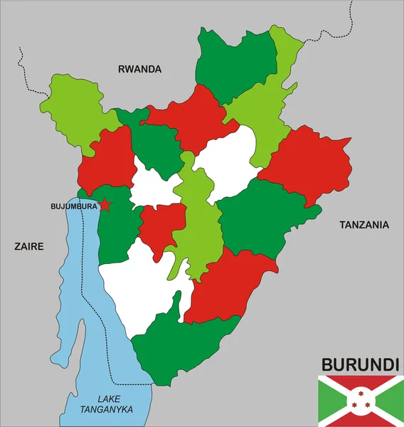
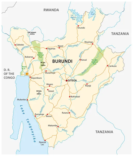
Stock vector Highly detailed vector map of Burundi with administrative regions,main cities and roads.

Published: Jul.06, 2020 08:59:19
Author: BogdanSerban
Views: 4
Downloads: 0
File type: vector / eps
File size: 0.7 MB
Orginal size: 4131 x 5000 px
Available sizes:
Level: beginner