photo free
Home Images Vectors Videos

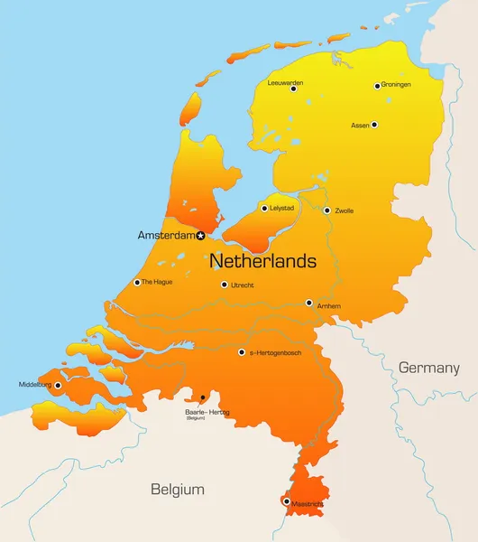
Stock vector Highly detailed vector map of Netherlands with administrative regions,main cities and roads.
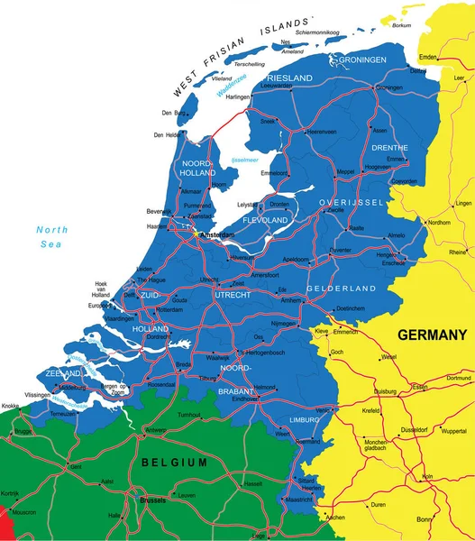
Stock vector Highly detailed vector map of Netherlands with administrative regions,main cities and roads.
Published: Jun.30, 2020 08:38:29
Author: BogdanSerban
Views: 20
Downloads: 0
File type: vector / eps
File size: 1.62 MB
Orginal size: 4393 x 5000 px
Available sizes:
S
(439 x 500)
M
(879 x 1000)
L
(1757 x 2000)
XL
(4393 x 5000)
VECT
(4393 x 5000)
EL0
(4393 x 5000)
Level: beginner
Download Vector
Vector topics:

Similar stock vectors

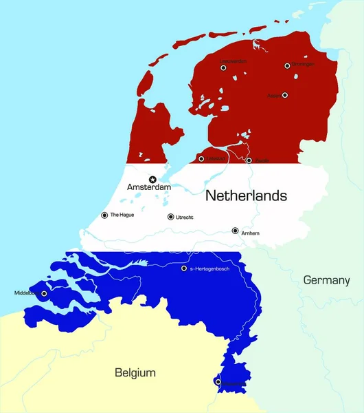
stock vector illustration map of the Netherlands

Illustration Map Of The Netherlands

4431 × 5000
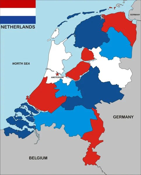
stock vector Netherlands map

Netherlands Map

3085 × 3486
stock image Netherlands map

Netherlands Map

4180 × 5178
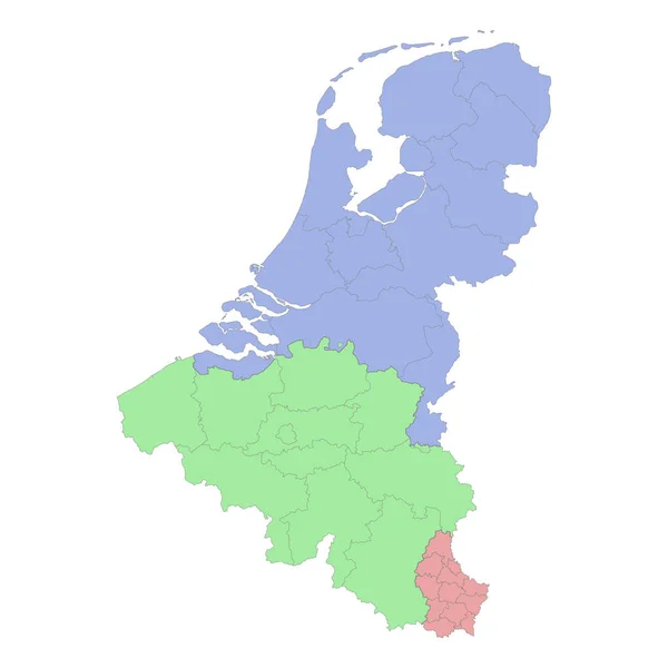
stock vector High quality political map of Belgium and Netherlands with borders of the regions or provinces. Vector illustration

High Quality Political Map Of Belgium And Netherlands With Borders Of The Regions Or Provinces. Vector Illustration

4000 × 4000
stock vector Netherlands Map - Vintage Vector Illustration

Netherlands Map - Vintage Vector Illustration

5500 × 6253
stock vector Netherlands map, graphic vector illustration

Netherlands Map, Graphic Vector Illustration

5000 × 5000
stock image Shape of Netherlands with its capital isolated on white background. Topographic relief map. 3D rendering

Shape Of Netherlands With Its Capital Isolated On White Background. Topographic Relief Map. 3D Rendering

1795 × 2126
stock vector vector map of Netherlands

Vector Map Of Netherlands

5452 × 6197