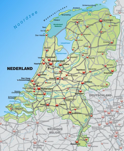
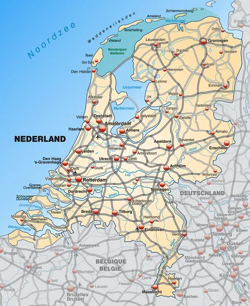
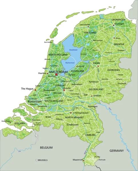
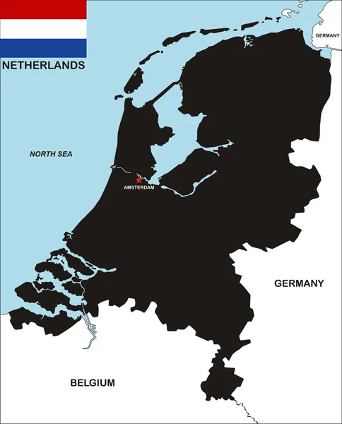
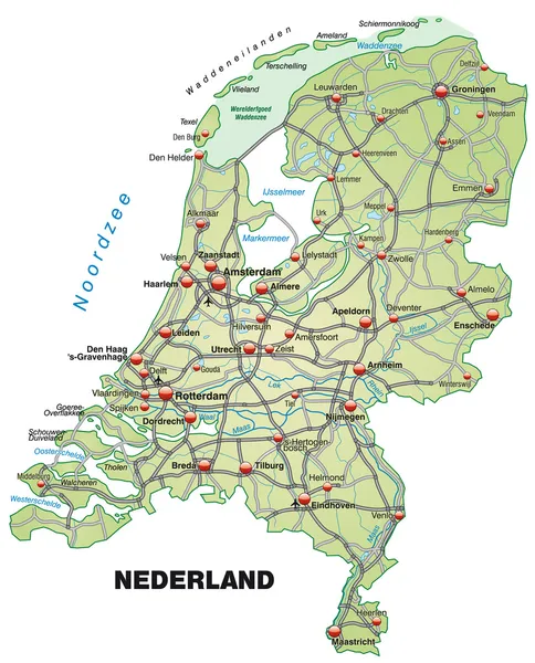
Stock vector Highly detailed vector map of Netherlands with administrative regions,main cities and roads.
Published: Jun.30, 2020 08:38:29
Author: BogdanSerban
Views: 93
Downloads: 1
File type: vector / ai
File size: 0.84 MB
Orginal size: 6571 x 7463 px
Available sizes:
Level: beginner