Home
Images
Vectors
Videos
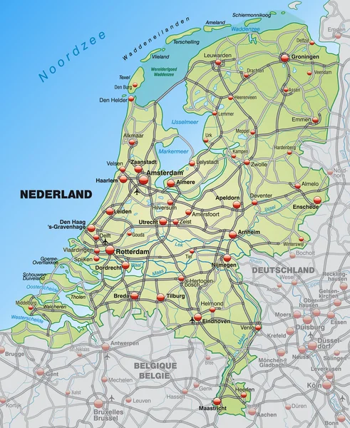
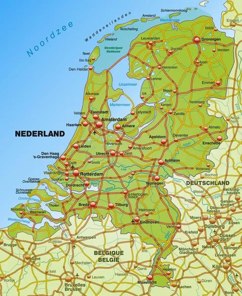
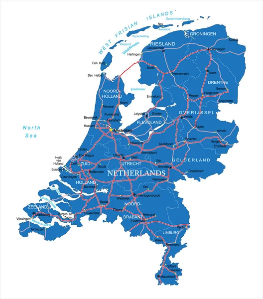
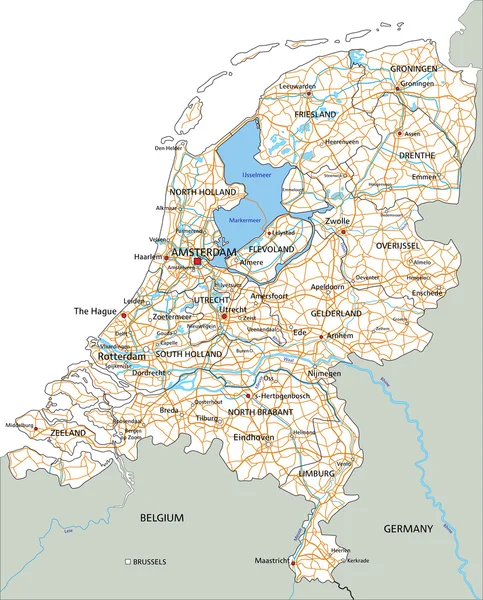
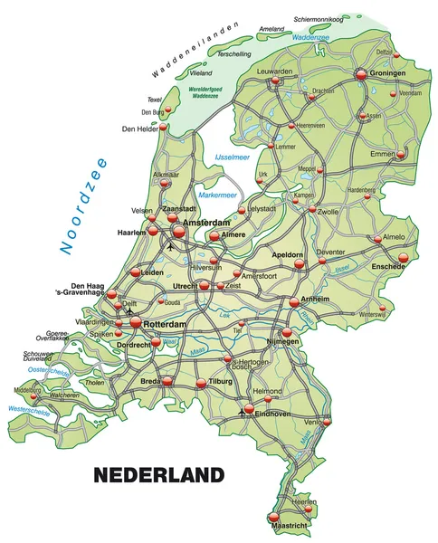
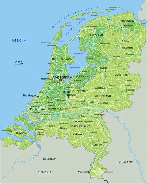
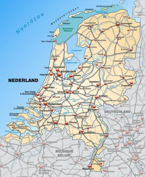
Stock vector Map of Netherlands
Published:
Feb.18, 2014 21:41:14
Author:
artalis
Views:
700
Downloads:
1
File type:
vector
/
ai
File size:
1.21 MB
Orginal size:
3620
x
4419
px
Available sizes:
S
(410 x 500)
M
(819 x 1000)
L
(1638 x 2000)
XL
(3620 x 4419)
VECT
(3620 x 4419)
EL0
(3620 x 4419)
Level:
bronze
Download Vector
Vector topics:
Vector
Background
Illustration
Environment
Orange
Connection
Border
Card
Traffic
Network
Way
Countryside
Information
Netherlands
Highway
Country
Site
Map
Geography
Plan
National
General
Highways
Chart
Stretch
Motorway
Countries
Borders
Surrounding
The
Federal
Amsterdam
Rotterdam
Nederland
Almere
Maastricht
Neighboring
Dordrecht
Eindhoven
Utrecht
Groningen
Breda
Geographically
Enschede
Apeldorn
Tilburg
Nijmegen
Arnheim
Similar stock vectors
Map Of Netherlands
3620 × 4419
Map Of Netherlands
3620 × 4419
Map Of Netherlands
3665 × 4541
Map Of Netherlands
3665 × 4541
Highly Detailed Vector Map Of Netherlands With Administrative Regions,main Cities And Roads.
6571 × 7463
Netherlands Road Map With Labeling.
4575 × 5673
Map Of Netherlands
3665 × 4541
Netherlands Physical Map With Labeling.
4575 × 5673