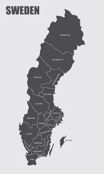
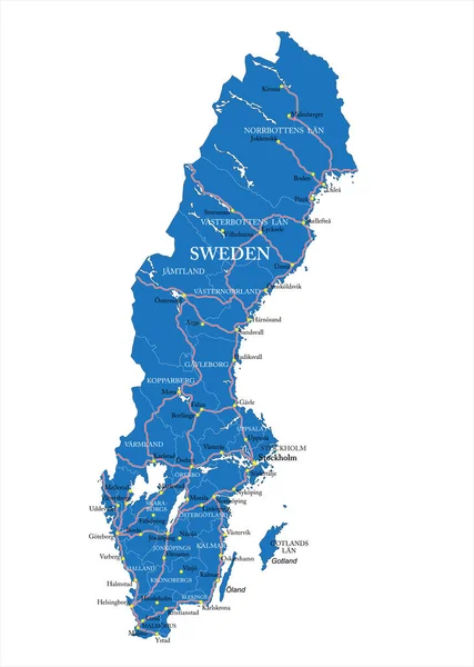
Stock vector Highly detailed vector map of Sweden with administrative regions, main cities and roads.
Published: Jun.30, 2020 08:38:50
Author: BogdanSerban
Views: 19
Downloads: 0
File type: vector / eps
File size: 1.92 MB
Orginal size: 3565 x 5000 px
Available sizes:
Level: beginner
Similar stock vectors

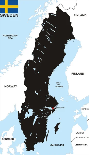
Highly Detailed Physical Map Of Sweden,in Vector Format,with All The Relief Forms,regions And Big Cities.
3086 × 5900
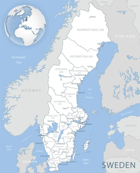
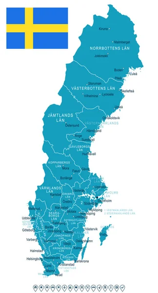
Blue-gray Detailed Map Of Sweden Administrative Divisions And Location On The Globe. Vector Illustration
5238 × 6470