photo free
Home Images Vectors Videos

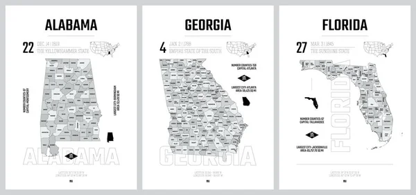
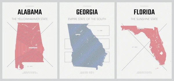
Stock vector Highly detailed vector silhouettes of US state maps, Division United States into counties, political and geographic subdivisions of a states, South Atlantic - South Carolina, North Carolina, Delaware - set 9 of 17

Stock vector Highly detailed vector silhouettes of US state maps, Division United States into counties, political and geographic subdivisions of a states, South Atlantic - South Carolina, North Carolina, Delaware - set 9 of 17
Published: Nov.22, 2021 13:55:55
Author: Max_776
Views: 4
Downloads: 2
File type: vector / eps
File size: 9.36 MB
Orginal size: 9608 x 4501 px
Available sizes:
S
(500 x 234)
M
(1000 x 468)
L
(2000 x 937)
XL
(9608 x 4501)
VECT
(9608 x 4501)
EL0
(9608 x 4501)
Level: bronze
Download Vector
Vector topics:

Similar stock vectors

stock vector Highly detailed vector silhouettes of US state maps, Division United States into counties, political and geographic subdivisions of a states, South Atlantic and East South Central - Alabama, Georgia, Florida - set 10 of 17

Highly Detailed Vector Silhouettes Of US State Maps, Division United States Into Counties, Political And Geographic Subdivisions Of A States, South Atlantic And East South Central - Alabama, Georgia, Florida - Set 10 Of 17

9608 × 4501
stock vector Vector posters detailed silhouettes maps of the states of America with abstract linear pattern, Division South Atlantic and East South Central - Alabama, Georgia, Florida - set 10 of 17

Vector Posters Detailed Silhouettes Maps Of The States Of America With Abstract Linear Pattern, Division South Atlantic And East South Central - Alabama, Georgia, Florida - Set 10 Of 17

8896 × 4168
stock vector Vector posters detailed silhouettes maps of the states of America with abstract linear pattern, Division South Atlantic - South Carolina, North Carolina, Delaware - set 9 of 17

Vector Posters Detailed Silhouettes Maps Of The States Of America With Abstract Linear Pattern, Division South Atlantic - South Carolina, North Carolina, Delaware - Set 9 Of 17

8896 × 4168
stock vector Highly detailed vector silhouettes of US state maps, Division United States into counties, political and geographic subdivisions of a states, East South Central - Mississippi, Kentucky, Tennessee - set 11 of 17

Highly Detailed Vector Silhouettes Of US State Maps, Division United States Into Counties, Political And Geographic Subdivisions Of A States, East South Central - Mississippi, Kentucky, Tennessee - Set 11 Of 17

9608 × 4501
stock vector Flat style map of State of North Carolina, USA. North Carolina outline. Vector illustration

Flat Style Map Of State Of North Carolina, USA. North Carolina Outline. Vector Illustration

6251 × 4167
stock vector North Carolina - U.S. state. Contour line in white and black color on two face background. Map of The United States of America. Vector illustration.

North Carolina - U.S. State. Contour Line In White And Black Color On Two Face Background. Map Of The United States Of America. Vector Illustration.

5834 × 3751
stock vector 2D Polygonal Map of North Carolina State with Red Stars

2D Polygonal Map Of North Carolina State With Red Stars

4830 × 3313
stock vector Vector posters with highly detailed silhouettes of maps of the s

Vector Posters With Highly Detailed Silhouettes Of Maps Of The S

7292 × 3416