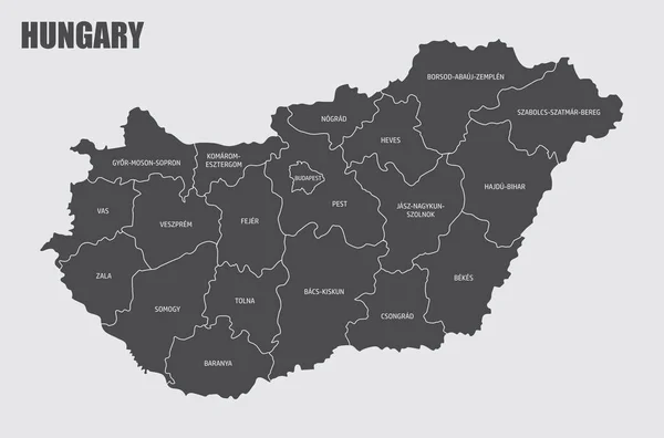
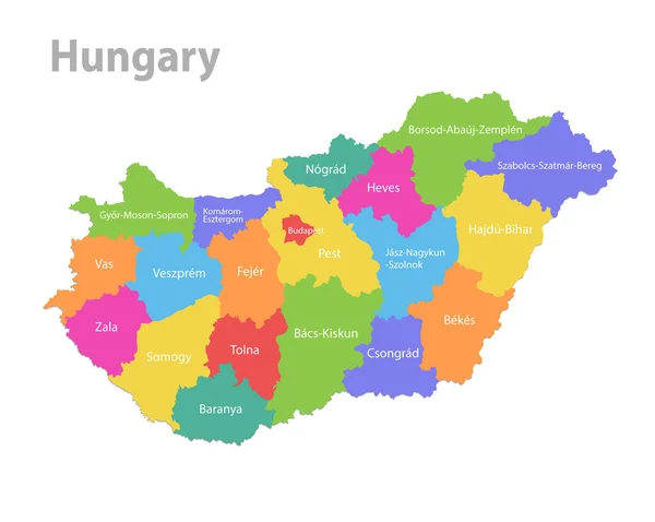
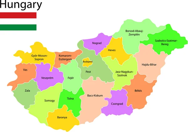
Stock vector Hungary map, administrative division, separate individual states with state names, color map isolated on white background vector
Published: Feb.24, 2020 11:43:27
Author: Mondi.h
Views: 97
Downloads: 1
File type: vector / eps
File size: 2 MB
Orginal size: 4769 x 3800 px
Available sizes:
Level: bronze
Similar stock vectors

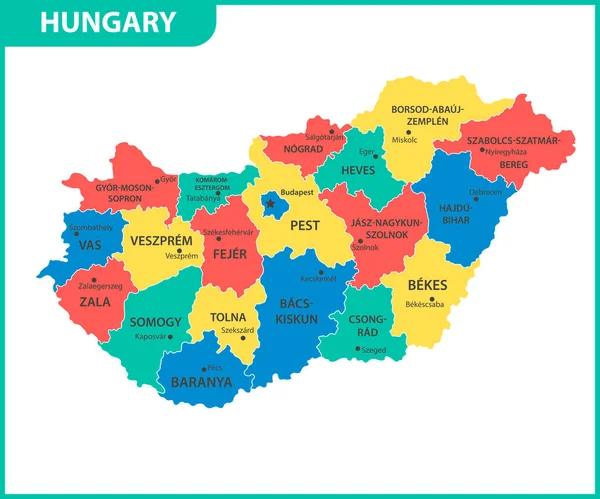
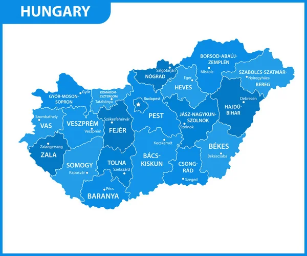
The Detailed Map Of Hungary With Regions Or States And Cities, Capital. Administrative Division
6000 × 5000