Home
Images
Vectors
Videos
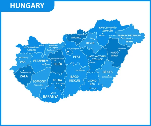
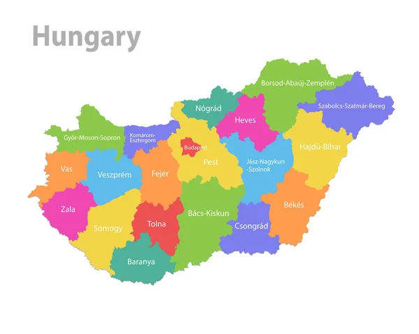
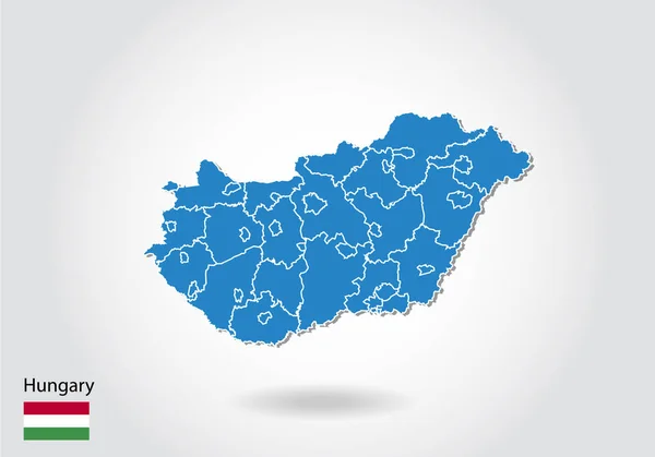
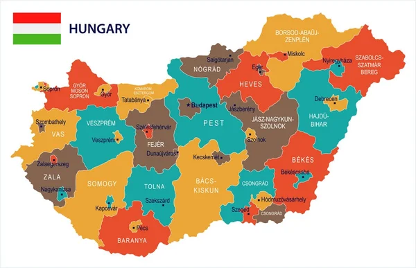
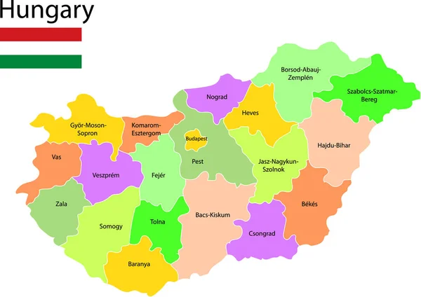
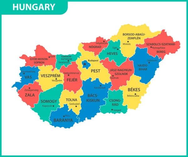
Stock vector The detailed map of Hungary with regions or states and cities, capital. Administrative division
Published:
Apr.18, 2022 12:49:49
Author:
-panya-
Views:
147
Downloads:
0
File type:
vector
/
eps
File size:
0.91 MB
Orginal size:
6000
x
5000
px
Available sizes:
S
(500 x 417)
M
(1000 x 833)
L
(2000 x 1667)
XL
(6000 x 5000)
VECT
(6000 x 5000)
EL0
(6000 x 5000)
Level:
bronze
Download Vector
Vector topics:
Vector
Background
Illustration
Isolated
Sign
Travel
Detail
Abstract
European
Line
Border
Icon
City
Contour
World
Template
Detailed
Capital
Europe
Country
District
Map
Cartography
Geography
Area
National
Continent
Land
State
Chart
Location
Boundary
Political
Administrative
Pest
Republic
Region
Division
Territory
Atlas
Budapest
Hungary
Hungarian
Province
Nation
County
Szeged
Debrecen
Zala
Miskolc
Similar stock vectors
The Detailed Map Of Hungary With Regions Or States And Cities, Capital. Administrative Division
6000 × 5000
The Detailed Map Of Hungary With Regions Or States. Administrative Division
6000 × 5000
Hungary Map, Administrative Division, Separate Individual States With State Names, Color Map Isolated On White Background Vector
4769 × 3800
Hungary Map Design With 3D Style. Blue Hungary Map And National
6000 × 4200
Hungary - Map And Flag Detailed Vector Illustration
8504 × 5500
Hungary Map Vector Illustration
3174 × 2243
Hungary Map, Administrative Division With Names, Blue White Card Paper 3D Vector
5033 × 3800
Hungary Map, Colorful Map In Vector
4535 × 5026