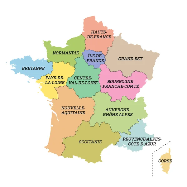
Stock vector Ile-de-France, departments and prefectures of the Paris Region, multi colored political map. Most populous region of France, centered on the capital Paris, located in the countries north-central part.

Published: Jul.16, 2024 05:51:34
Author: Furian
Views: 0
Downloads: 0
File type: vector / eps
File size: 1.41 MB
Orginal size: 7161 x 6000 px
Available sizes:
Level: silver