Home
Images
Vectors
Videos
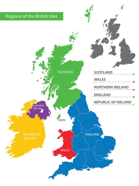
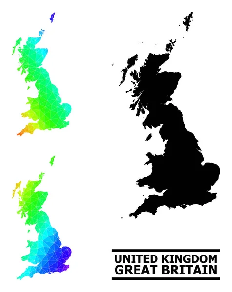
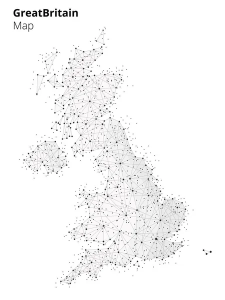
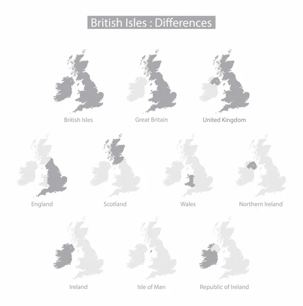
Stock vector illustration of geography, The United Kingdom of Great Britain and Northern Ireland, The four countries of the United Kingdom, combination of different national identities, united kingdom map
Published:
Jul.12, 2023 09:12:14
Author:
beelineonl@gmail.com
Views:
0
Downloads:
0
File type:
vector
/
eps
File size:
7.84 MB
Orginal size:
2119
x
2135
px
Available sizes:
S
(496 x 500)
M
(993 x 1000)
L
(1985 x 2000)
XL
(2119 x 2135)
VECT
(2119 x 2135)
EL0
(2119 x 2135)
Level:
beginner
Download Vector
Vector topics:
Business
School
Learning
Education
Coastline
Tourism
Capital
Europe
Economy
Study
Military
Map
Geography
Area
Christian
National
State
Traveling
Island
Political
Educational
Republic
Democracy
Communities
London
Society
Combination
England
Scottish
Wales
Irish
Nation
Scotland
Nationality
Romans
Governments
Great Britain
United Kingdom
City Of London
Northern Ireland
North Atlantic Ocean
British Empire
British Isles
British Government
Sovereign Country
Land Border
Unitary State
County Councils
Continental Mainland
Similar stock vectors
Map Of United Kingdom, Administrative Divisions, Regions Separate Vector
4864 × 4000
Vector Rainbow Colored Pixel Map Of United Kingdom
4016 × 3984
Color Detailed Map Of The Regions And Countries Of The British Isles For Your Design
5947 × 7951
Abstract Line Map Of The England. Abstract Background Of Gradient Lines. Geometric Line Map England. Geometric Line Background
6748 × 3724
Lowpoly Spectrum Map Of Great Britain With Diagonal Gradient
4322 × 5434
Golden Square Pattern Map Of Great Britain
5608 × 4458
Vector Collage Map Of Great Britain Of Colorful Marijuana Leaves And Solid Map
4189 × 3820
United Kingdom Map In Blockchain Technology Style.
4688 × 6250