photo free
Home Images Vectors Videos

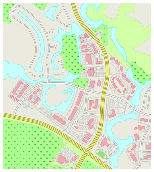
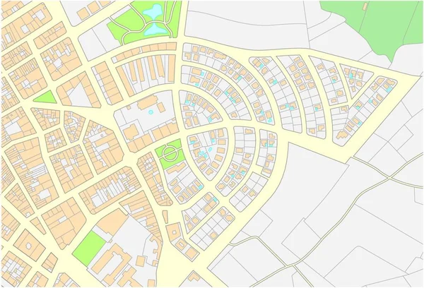
Stock vector Imaginary cadastral map of an area with buildings and streets
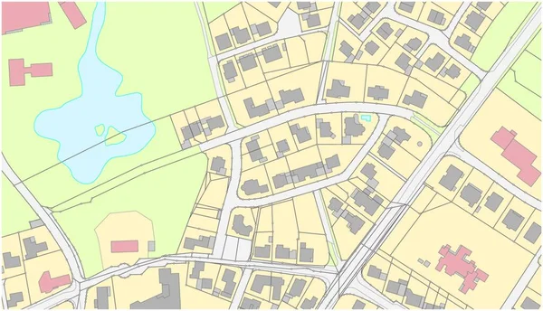
Stock vector Imaginary cadastral map of an area with buildings and streets
Published: Dec.09, 2021 10:11:35
Author: PantherMediaSeller
Views: 6
Downloads: 0
File type: vector / zip
File size: 0 MB
Orginal size: 4000 x 3694 px
Available sizes:
S
(500 x 462)
M
(1000 x 924)
L
(2000 x 1847)
XL
(4000 x 3694)
VECT
(4000 x 3694)
EL0
(4000 x 3694)
Level: platinum
Download Vector
Vector topics:

Similar stock vectors

stock vector Imaginary cadastral map of an area with buildings and streets

Imaginary Cadastral Map Of An Area With Buildings And Streets

5360 × 3100
stock vector abstract detailed colored topographic contour map background

Abstract Detailed Colored Topographic Contour Map Background

3943 × 4000
stock vector Imaginary cadastre map of territory with buildings and roads

Imaginary Cadastre Map Of Territory With Buildings And Roads

3707 × 4000
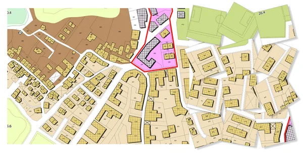
stock image Imaginary General Urban Plan with indications of urban destinations with buildings, roads, buildable areas and land plot - Problems and solutions concept in jigsaw puzzle shape

Imaginary General Urban Plan With Indications Of Urban Destinations With Buildings, Roads, Buildable Areas And Land Plot - Problems And Solutions Concept In Jigsaw Puzzle Shape

10000 × 5083
stock vector Imaginary cadastral map of an area with buildings and streets.

Imaginary Cadastral Map Of An Area With Buildings And Streets.

4000 × 3832
stock vector abstract detailed colored topographic outline map

Abstract Detailed Colored Topographic Outline Map

3100 × 3464
stock vector Imaginary cadastre map of territory with buildings and roads

Imaginary Cadastre Map Of Territory With Buildings And Roads

8652 × 9881
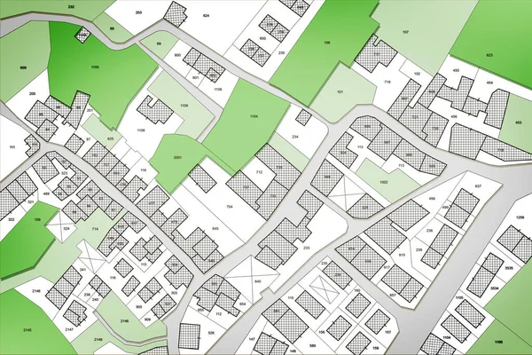
stock image Imaginary cadastral map of territory with public parks and natural green land

Imaginary Cadastral Map Of Territory With Public Parks And Natural Green Land

5286 × 3526