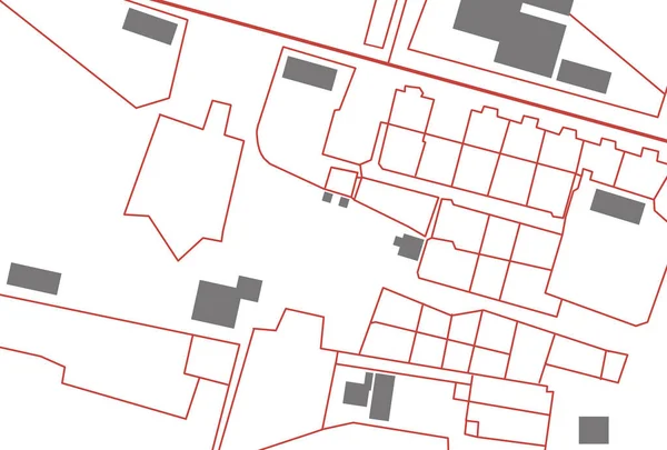
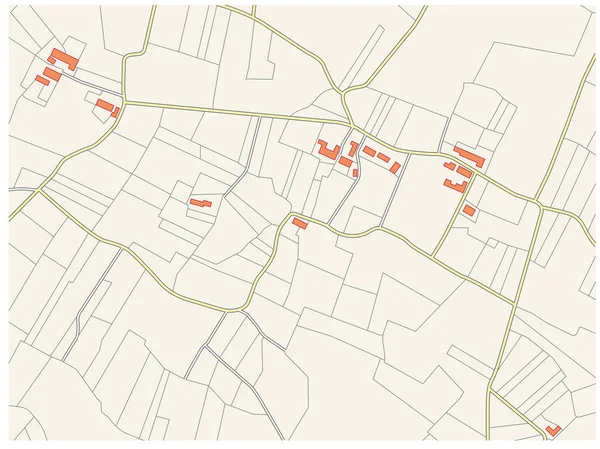
Stock vector Imaginary vector cadastre plan
Published: Jan.24, 2017 15:49:20
Author: Lesniewski
Views: 150
Downloads: 13
File type: vector / eps
File size: 0.43 MB
Orginal size: 4134 x 3100 px
Available sizes:
Level: bronze