Home
Images
Vectors
Videos
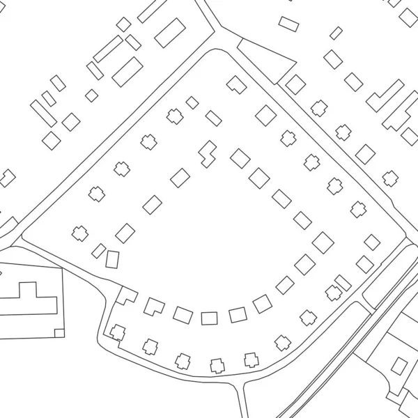
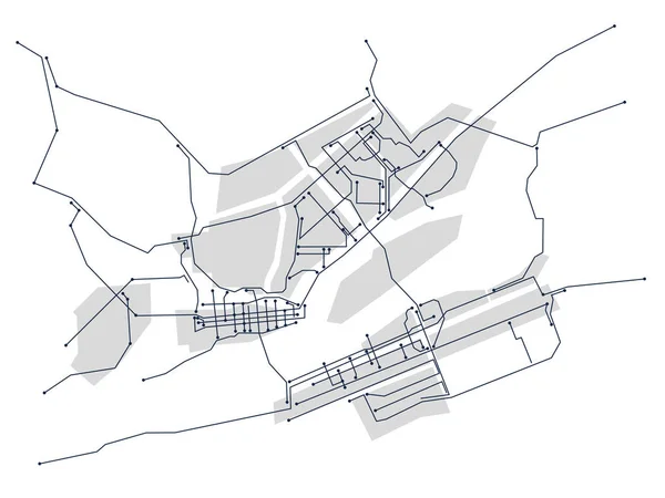
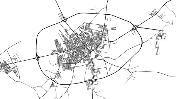
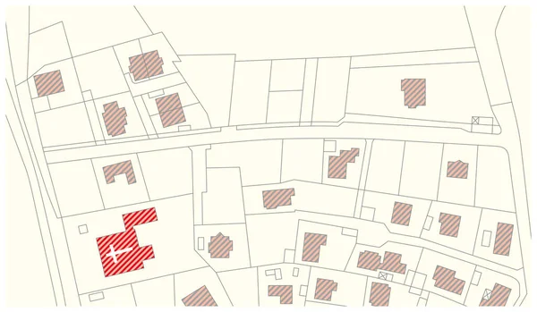
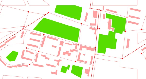
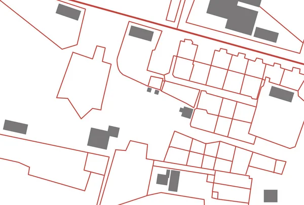
Stock image Marked territory on cadastral map, top view. Illustration
Published:
Jun.09, 2021 12:06:10
Author:
NewAfrica
Views:
8
Downloads:
1
File type:
image
/
jpg
File size:
4.73 MB
Orginal size:
7510
x
5075
px
Available sizes:
S
(500 x 338)
M
(1000 x 676)
L
(2000 x 1352)
XL
(7510 x 5075)
EL0
(7510 x 5075)
Level:
gold
Download Image
Image topics:
View
Illustration
Parcel
Business
Border
Architecture
Building
Construction
Estate
Real
Data
Planning
Information
Project
Property
Surface
Top
Engineering
Map
Cartography
Land
Public
Boundary
Administrative
Territory
Administration
Register
Regulation
Marked
Cadastre
Cadastral
Similar stock images
Part Of Urban Plan Of A Town. Vector Map For Your Design.
8333 × 8333
Digital City. Plan Of The City In The Form Of An Electronic Scheme. Stylized Linear Drawing. Vector Graphics
5000 × 3750
Urban Vector City Map Of Hafar Al, Saudi Arabia, Middle East
6000 × 3382
Urban Vector City Map Of Ar Rass, Saudi Arabia, Middle East
6000 × 3379
Imaginary Vector Cadastral Map With Buildings And Streets
5317 × 3100
Suburb Map
5250 × 3000
Vector Seamless City Map
8333 × 4521
Imaginary Cadastral Map Of Territory With Buildings, Roads And L
4752 × 3168