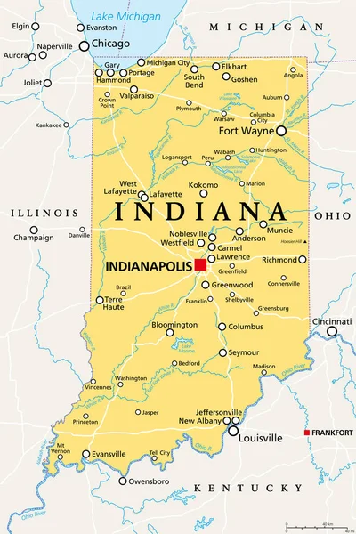
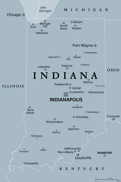
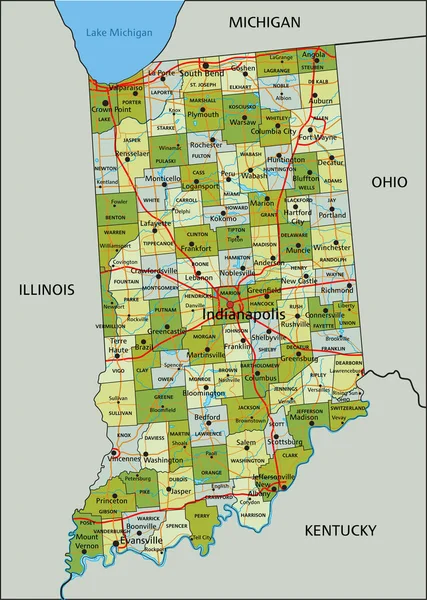
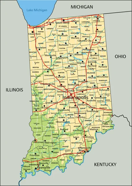
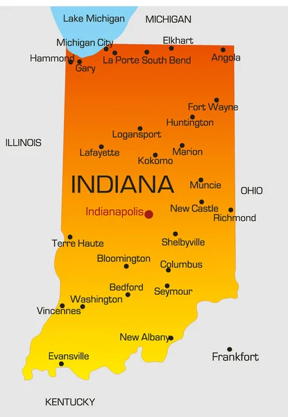
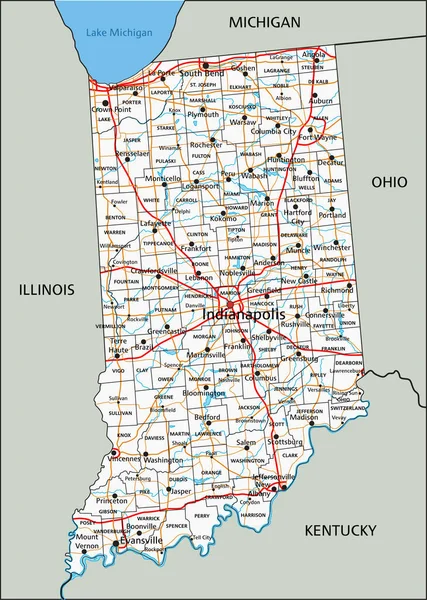
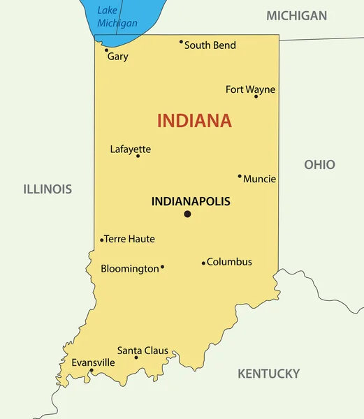
Stock vector Indiana - vector map
Published: Aug.13, 2015 15:01:37
Author: pavalena
Views: 44
Downloads: 0
File type: vector / eps
File size: 0.18 MB
Orginal size: 4198 x 4825 px
Available sizes:
Level: bronze