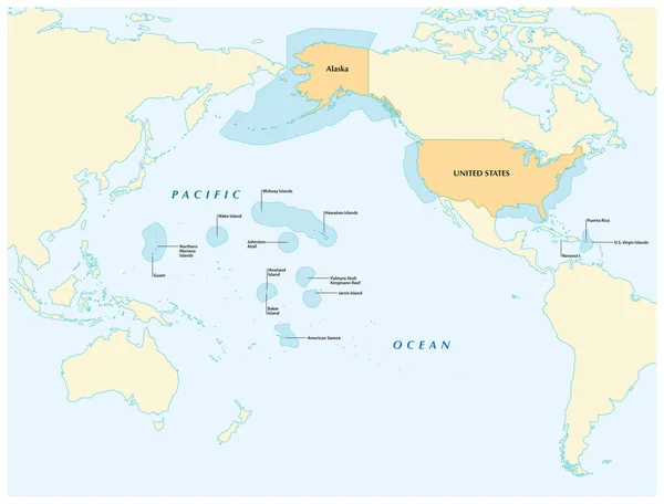
Stock vector insular area vector map of the United States.
Published: Oct.08, 2018 11:07:57
Author: Lesniewski
Views: 56
Downloads: 3
File type: vector / eps
File size: 3.06 MB
Orginal size: 4078 x 3100 px
Available sizes:
Level: bronze