Home
Images
Vectors
Videos
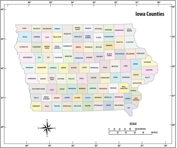
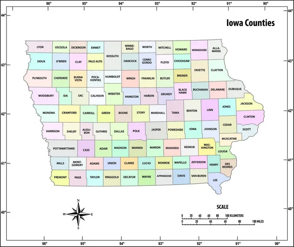
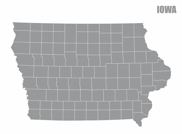
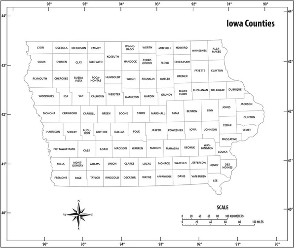
Stock vector Iowa state outline administrative and political vector map in black and white
Published:
Apr.30, 2020 08:20:23
Author:
Lesniewski
Views:
10
Downloads:
3
File type:
vector
/
eps
File size:
0.85 MB
Orginal size:
5097
x
4277
px
Available sizes:
S
(500 x 420)
M
(1000 x 839)
L
(2000 x 1678)
XL
(5097 x 4277)
VECT
(5097 x 4277)
EL0
(5097 x 4277)
Level:
bronze
Download Vector
Vector topics:
White
Vector
Graphic
Illustration
Design
Isolated
Travel
Abstract
Black
Border
Icon
Contour
Scale
American
Usa
Detailed
Outline
Country
District
Map
Cartography
Geography
Kilometers
State
Topography
America
Countries
Borders
Political
Administrative
United
States
Region
Mile
Nation
County
Mapping
Coordinates
Iowa
Counties
North America
United States
United States Of America
Geographical Locations
North Arrow
Similar stock vectors
Iowa State Outline Administrative And Political Vector Map In Color
5097 × 4277
Iowa State Outline Administrative And Political Vector Map In Black And White
4000 × 3810
Iowa State Outline Administrative And Political Vector Map In Color
4000 × 3810
Kansas State Outline Administrative And Political Vector Map In Color
4000 × 3856
Iowa County Map
5000 × 3750
Iowa County Map
5000 × 3700
Indiana State Outline Administrative And Political Vector Map In Black And White
3100 × 3780
Iowa County Map
5000 × 3700