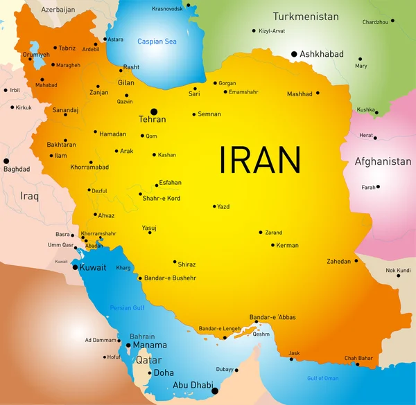
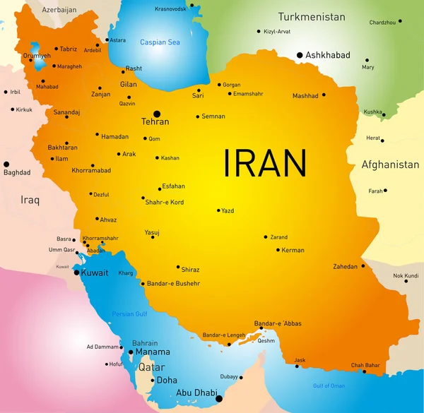
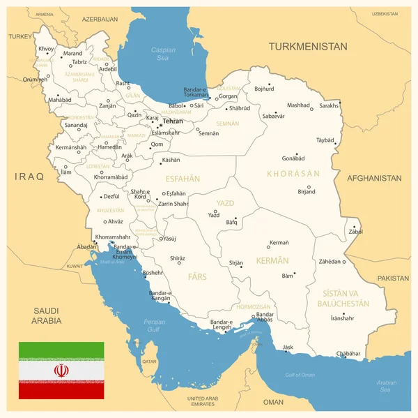
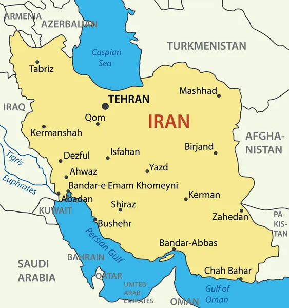
Stock vector Iran, political map with provinces, borders, capital Tehran and major cities. The Islamic Republic of Iran, IRI, also known as Persia, a country in West Asia, divided into 31 provinces. Illustration

Published: May.21, 2024 16:00:32
Author: Furian
Views: 1
Downloads: 0
File type: vector / eps
File size: 5.67 MB
Orginal size: 6000 x 6000 px
Available sizes:
Level: silver