Home
Images
Vectors
Videos
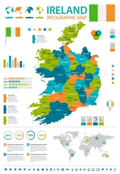
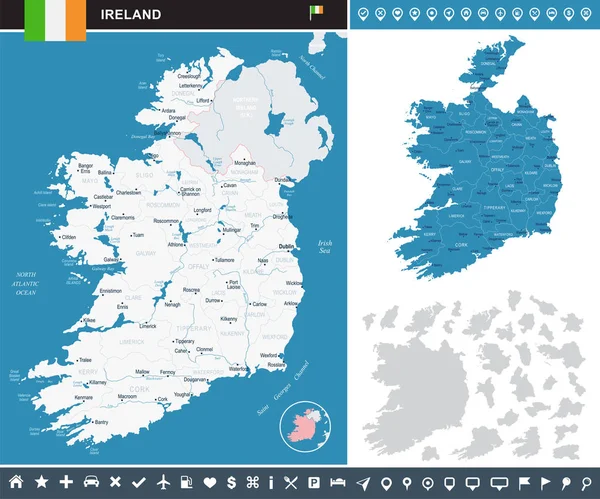
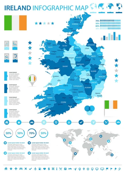
Stock vector Ireland - infographic map and flag - Detailed Vector Illustration
Published:
Jan.24, 2018 08:30:32
Author:
dikobrazik
Views:
42
Downloads:
1
File type:
vector
/
eps
File size:
5.93 MB
Orginal size:
5500
x
7593
px
Available sizes:
S
(362 x 500)
M
(724 x 1000)
L
(1449 x 2000)
XL
(5500 x 7593)
VECT
(5500 x 7593)
EL0
(5500 x 7593)
Level:
silver
Download Vector
Vector topics:
Blue
Vector
Business
Sign
Label
Border
Flag
Symbol
City
Pointing
Contour
Detailed
Europe
Map
Ireland
Land
Chart
Government
Political
Politics
Dublin
Galway
Regions
Loughrea
Infographic
World Map
Computer Icon
Illustration And Painting
Capital Cities
Straight Pin
Navigational Equipment
Geographical Locations
Ballinasloe
Interface Icons
Map Pointer
Irelandian
Similar stock vectors
Ireland - Infographic Map And Flag - Detailed Vector Illustration
5500 × 7963
Ireland - Infographic Map - Detailed Vector Illustration
6612 × 5500
Ireland Country Set Of Banners.
6400 × 6400
Blue-green Detailed Map Of Ireland Administrative Divisions With Country Flag And Location On The Globe. Vector Illustration
5206 × 6494
Ireland Infographics, Statistical Data, Sights
5000 × 5000
Ireland Administrative Blue-green Map With Country Flag And Location On A Globe. Vector Illustration
5269 × 6718
Ireland Map - Info Graphic Vector Illustration
7026 × 5500
Ireland Map. Vector Image Of A Global Map In The Form Of Regions Of Ireland Regions. Country Flag.
8000 × 4500