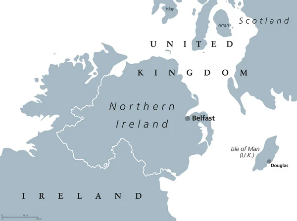
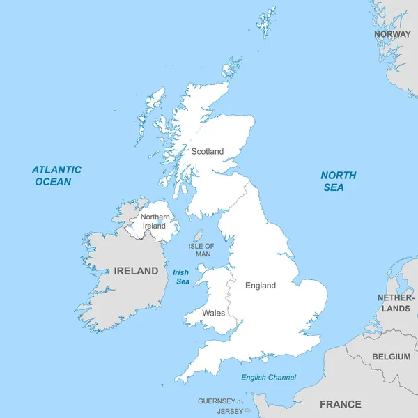
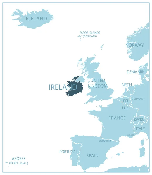
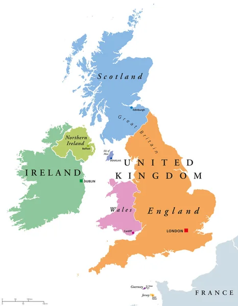
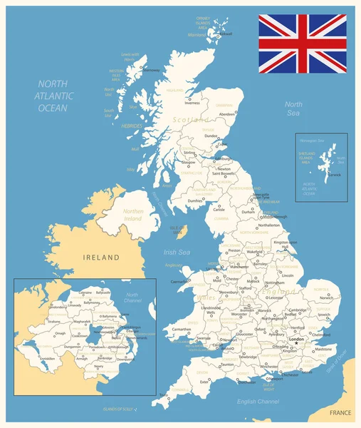
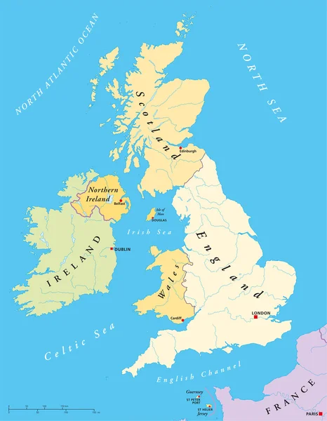
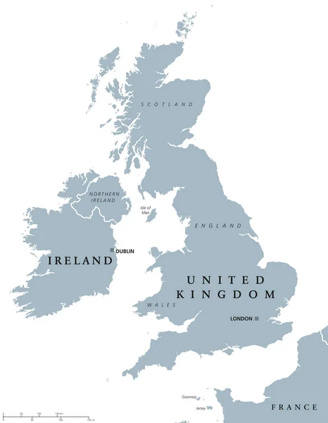
Stock vector Ireland and United Kingdom political map
Published: Nov.01, 2016 11:07:14
Author: Furian
Views: 193
Downloads: 5
File type: vector / eps
File size: 2.66 MB
Orginal size: 6998 x 8999 px
Available sizes:
Level: silver