photo free
Home Images Vectors Videos

Stock vector Political map of United Kingdom with borders with borders of regions and countries
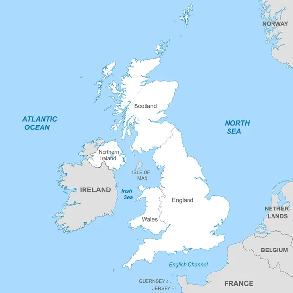
Stock vector Political map of United Kingdom with borders with borders of regions and countries
Published: Mar.03, 2022 12:12:22
Author: grebeshkovmaxim@gmail.com
Views: 10
Downloads: 0
File type: vector / eps
File size: 3.5 MB
Orginal size: 4000 x 4000 px
Available sizes:
S
(500 x 500)
M
(1000 x 1000)
L
(2000 x 2000)
XL
(4000 x 4000)
VECT
(4000 x 4000)
EL0
(4000 x 4000)
Level: silver
Download Vector
Vector topics:

Similar stock vectors

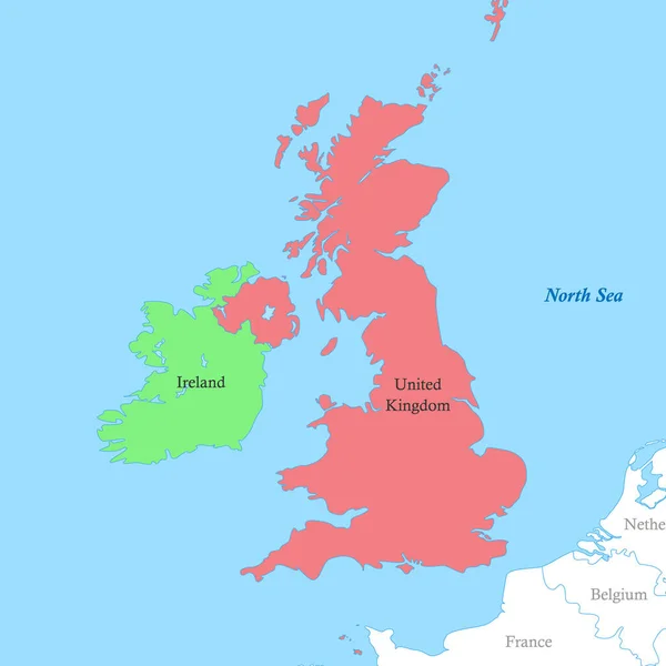
stock vector Color political map of British Isles with borders of the countries.

Color Political Map Of British Isles With Borders Of The Countries.

4000 × 4000
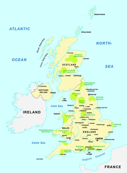
stock vector National parks vector map of the United Kingdom

National Parks Vector Map Of The United Kingdom

3348 × 4540
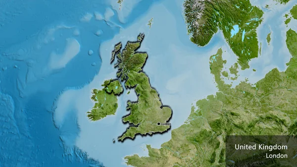
stock image Close-up of the United Kingdom border area on a satellite map. Capital point. Bevelled edges of the country shape. English name of the country and its capital

Close-up Of The United Kingdom Border Area On A Satellite Map. Capital Point. Bevelled Edges Of The Country Shape. English Name Of The Country And Its Capital

3840 × 2160