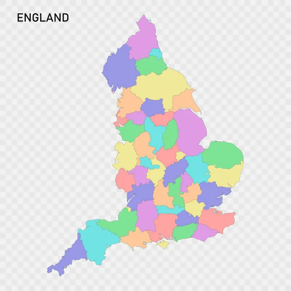
Stock vector Isolated colored map of England with borders of the regions
Published: Jun.14, 2023 20:09:59
Author: grebeshkovmaxim@gmail.com
Views: 3
Downloads: 0
File type: vector / eps
File size: 2.7 MB
Orginal size: 4000 x 4000 px
Available sizes:
Level: silver
Similar stock vectors


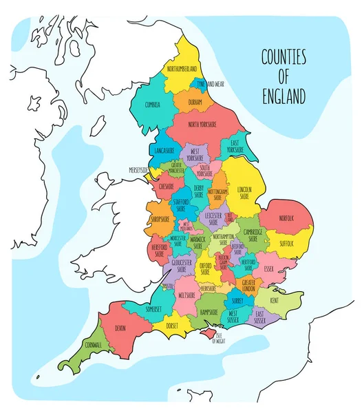
Hand Drawn Map Of England And The British Isles. Colorful Hand Drawn Vector Illustration
6000 × 7356