photo free
Home Images Vectors Videos

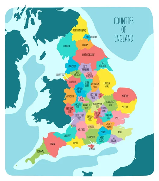
Stock vector Hand drawn map of England and the British Isles. Colorful hand drawn vector illustration
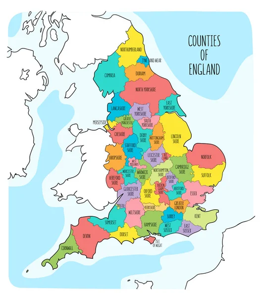
Stock vector Hand drawn map of England and the British Isles. Colorful hand drawn vector illustration
Published: Mar.04, 2020 10:13:35
Author: LaraFields
Views: 69
Downloads: 0
File type: vector / eps
File size: 9.56 MB
Orginal size: 6000 x 6800 px
Available sizes:
S
(441 x 500)
M
(882 x 1000)
L
(1765 x 2000)
XL
(6000 x 6800)
VECT
(6000 x 6800)
EL0
(6000 x 6800)
Level: beginner
Download Vector
Vector topics:

Similar stock vectors

stock vector Hand drawn map of England with regions. Colorful hand drawn vector illustration

Hand Drawn Map Of England With Regions. Colorful Hand Drawn Vector Illustration

6000 × 6800
stock vector Map England. Poster map of regions of England. Black and white print map of England for t-shirt, poster, print. Hand-drawn graphic map with regions. Vector Illustration

Map England. Poster Map Of Regions Of England. Black And White Print Map Of England For T-shirt, Poster, Print. Hand-drawn Graphic Map With Regions. Vector Illustration

5263 × 6000
stock vector Hand drawn map of England and the British Isles. Colorful hand drawn vector illustration

Hand Drawn Map Of England And The British Isles. Colorful Hand Drawn Vector Illustration

6000 × 6800
stock vector Political Map of England

Political Map Of England

4810 × 6000
stock vector Map of Yorkshire and the Humber

Map Of Yorkshire And The Humber

7006 × 6706
stock vector Hand drawn map of England with regions. Colorful hand drawn vector illustration

Hand Drawn Map Of England With Regions. Colorful Hand Drawn Vector Illustration

6000 × 6800
stock vector Political map of England with regions and their capitals

Political Map Of England With Regions And Their Capitals

5500 × 6050
stock vector Hand drawn map of England and the British Isles. Colorful hand drawn vector illustration

Hand Drawn Map Of England And The British Isles. Colorful Hand Drawn Vector Illustration

6000 × 7356