Home
Images
Vectors
Videos
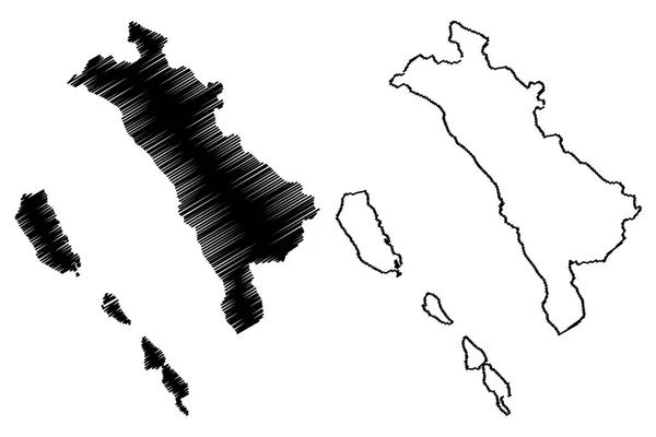
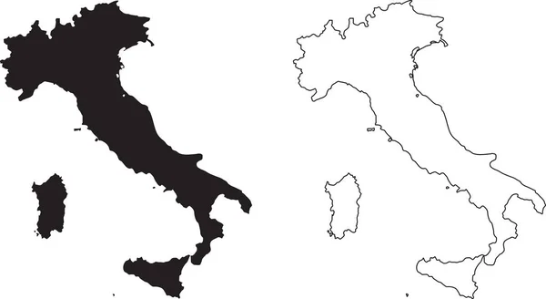
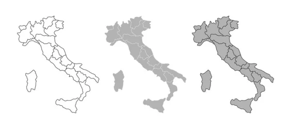
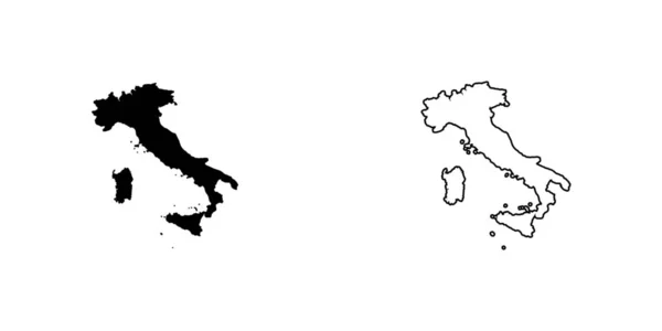
Stock vector Italy regions maps
Published:
Jun.15, 2020 10:24:57
Author:
luisrftc
Views:
98
Downloads:
2
File type:
vector
/
eps
File size:
8.44 MB
Orginal size:
5000
x
3050
px
Available sizes:
S
(500 x 305)
M
(1000 x 610)
L
(2000 x 1220)
XL
(5000 x 3050)
VECT
(5000 x 3050)
EL0
(5000 x 3050)
Level:
bronze
Download Vector
Vector topics:
Vector
Background
Illustration
Design
Isolated
Travel
Detail
Abstract
Black
Silhouette
Border
Symbol
Digital
Flat
Italy
Italian
Surface
Detailed
Europe
Outline
Country
Map
Cartography
Geography
National
Land
Mediterranean
State
Venice
Florence
Tuscany
Roma
Rome
Administrative
Sardinia
Milan
Turin
Region
Diagram
Atlas
Sicily
Nation
Liguria
Lombardy
Provinces
Lazio
Piemonte
Molise
Lmarche
Similar stock vectors
Backgrounds Of Italy
6944 × 3472
West Sumatra (Subdivisions Of Indonesia, Provinces Of Indonesia) Map Vector Illustration, Scribble Sketch Sumatera Barat Map
7087 × 4726
Italy Map Vector Black With Countries Isolated
5669 × 3402
Map Of The Country Of Italy
4861 × 2431
Italy Map Set. Country Map Black Silhouette Isolated On White Background. Black Outline On White Background. Vector File EPS
12170 × 6666
Italian Political Map With Regional Administrative Borders. Cartography Silhouette. Map Of Italy With Region Borders Isolated On White Background
9000 × 4000
Petrozavodsk City (Russian Federation, Russia, Republic Of Karelia) Map Vector Illustration, Scribble Sketch City Of Aanislinna Map
7087 × 4726
Country Shape Illustration Of Italy Italy
6667 × 3333