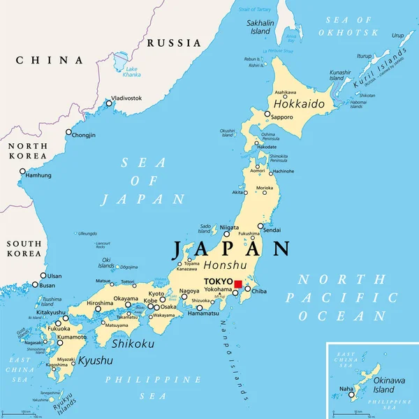
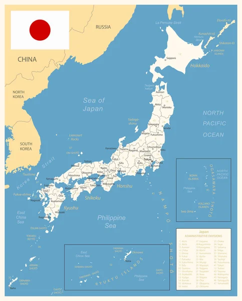
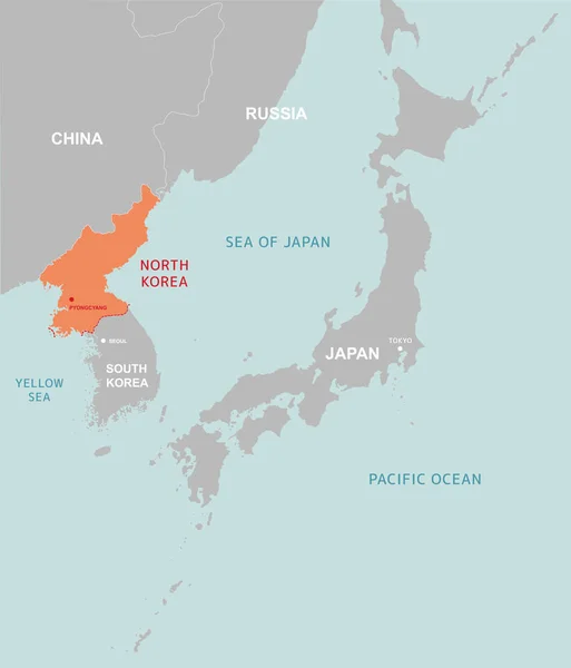
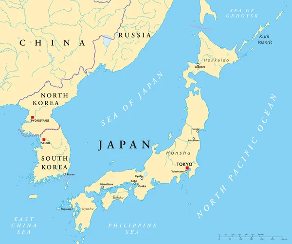
Stock vector Japan, North Korea And South Korea Political Map
Published: Mar.24, 2014 11:27:59
Author: Furian
Views: 3941
Downloads: 45
File type: vector / eps
File size: 2.24 MB
Orginal size: 8996 x 7521 px
Available sizes:
Level: silver