Home
Images
Vectors
Videos
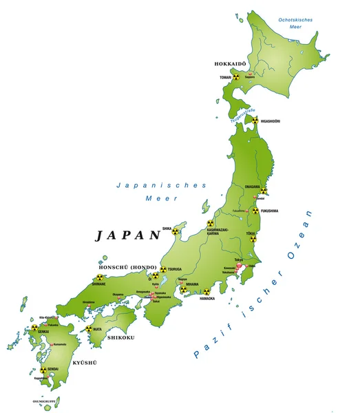
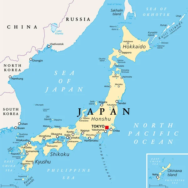
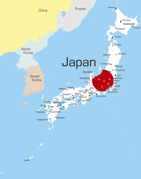
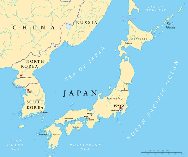
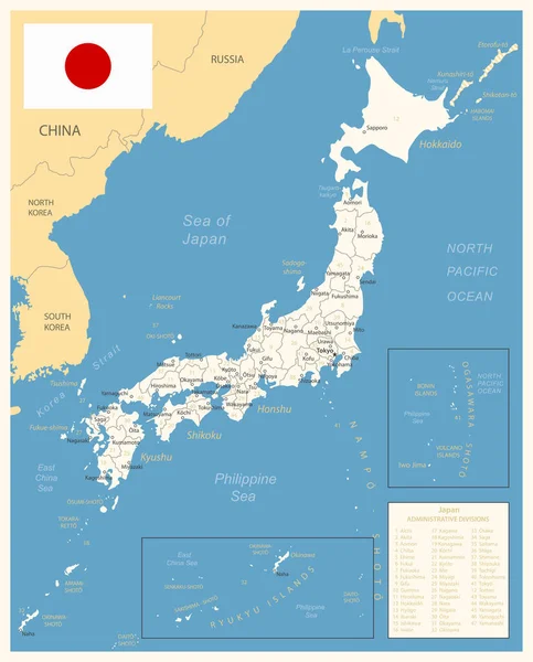
Stock vector Japan - detailed map with administrative divisions and country flag. Vector illustration
Published:
Jul.19, 2023 09:43:54
Author:
gt29
Views:
10
Downloads:
0
File type:
vector
/
eps
File size:
2.67 MB
Orginal size:
5884
x
7299
px
Available sizes:
S
(403 x 500)
M
(806 x 1000)
L
(1612 x 2000)
XL
(5884 x 7299)
VECT
(5884 x 7299)
EL0
(5884 x 7299)
Level:
bronze
Download Vector
Vector topics:
Yellow
White
Blue
Vector
Set
Business
Travel
Pattern
Sea
Border
Weather
Flag
Icon
City
Earth
Planet
World
Capital
Globe
Collection
Navigation
Layout
Country
Map
Cartography
Geography
Continent
Land
Asia
State
Japan
Sovereign
Political
Tokyo
Osaka
Division
Marker
Atlas
Divided
Provinces
Territories
Yokohama
Municipalities
Global Communications
Japan Flag
Japan Map
International Border
Administrative Division
Similar stock vectors
Japan, Gray Political Map. The Main Islands Honshu, Hokkaido, Kyushu, Shikoku And Okinawa. East Asian Island Country In The North Pacific Ocean, Archipelago Of 14,125 Islands And Part Of Ring Of Fire.
6000 × 6000
Japan Mit AKW In Grün
4000 × 4883
Japan Political Map. Main Islands Honshu, Hokkaido, Kyushu, Shikoku And Okinawa. East Asian Island Country In The North Pacific Bordered By Sea Of Japan And Okhotsk, And East China And Philippine Sea.
6000 × 6000
Japan - Map And Flag Illustration
5900 × 7311
Japan - Map And Flag Illustration
5900 × 7671
Japan
2796 × 3552
Japan, North Korea And South Korea Political Map
8996 × 7521
Japan Administrative Divisions
3360 × 3348