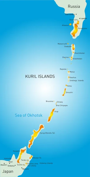
Stock vector Kerch Strait in Eastern Europe, gray political map. Narrow waterway that connects the Black Sea and Sea of Azov. The Crimean Bridge connects the Kerch Peninsula of Crimea with the Taman Peninsula.

Published: May.08, 2024 13:57:43
Author: Furian
Views: 0
Downloads: 0
File type: vector / eps
File size: 1.92 MB
Orginal size: 7667 x 6000 px
Available sizes:
Level: silver