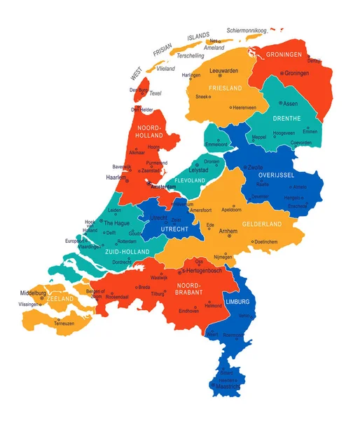
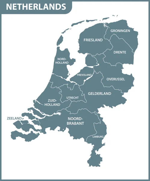
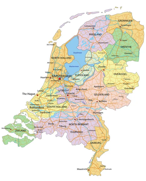
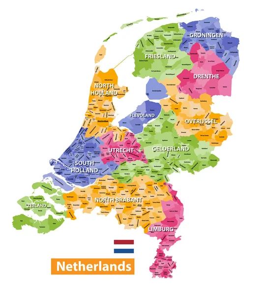
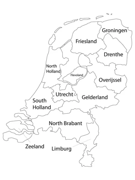
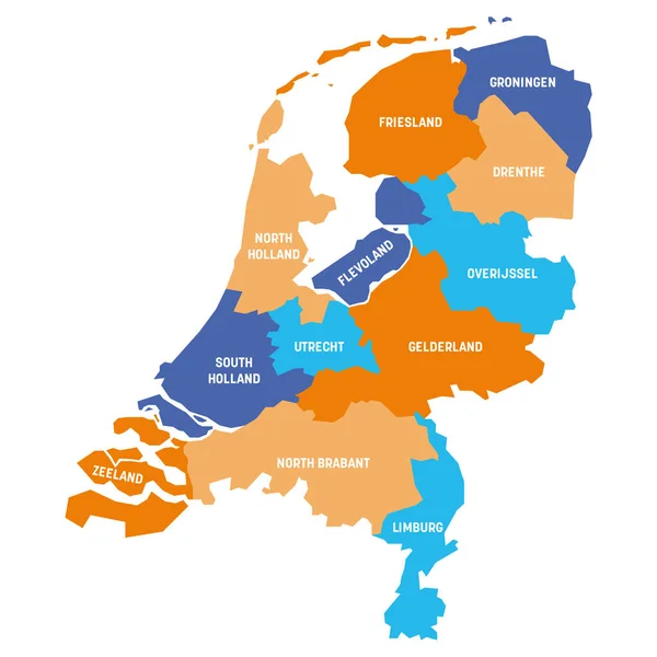
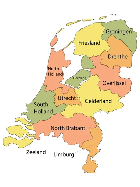
Stock vector Labeled Colorful Provinces Map of European Country of Netherlands
Published: Nov.09, 2020 09:16:45
Author: momcilo.jovanov
Views: 46
Downloads: 2
File type: vector / eps
File size: 0.61 MB
Orginal size: 3600 x 4800 px
Available sizes:
Level: bronze