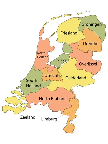
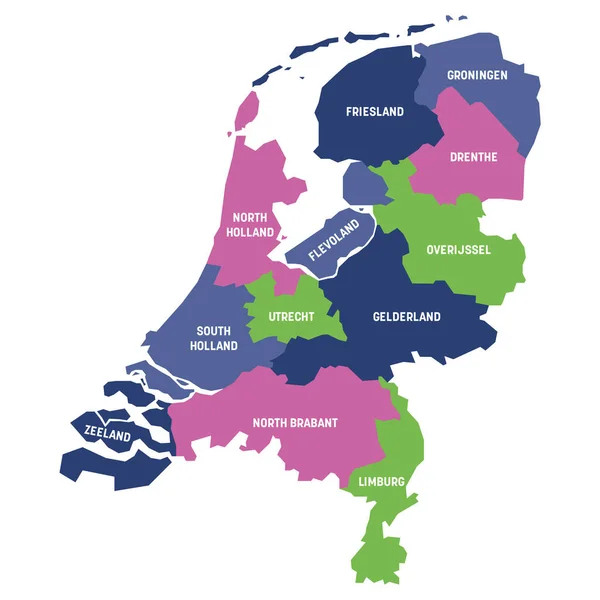
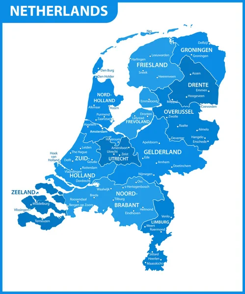
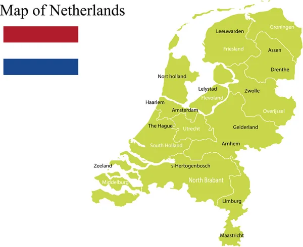
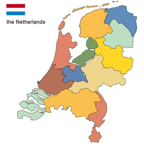
Stock vector Netherlands high detailed local municipalities map colored by provinces. All elements are separated in detachable and labeled layers. Vector
Published: Aug.29, 2017 14:22:30
Author: Jktu_21
Views: 1882
Downloads: 25
File type: vector / eps
File size: 9.61 MB
Orginal size: 6537 x 7292 px
Available sizes:
Level: silver