Home
Images
Vectors
Videos
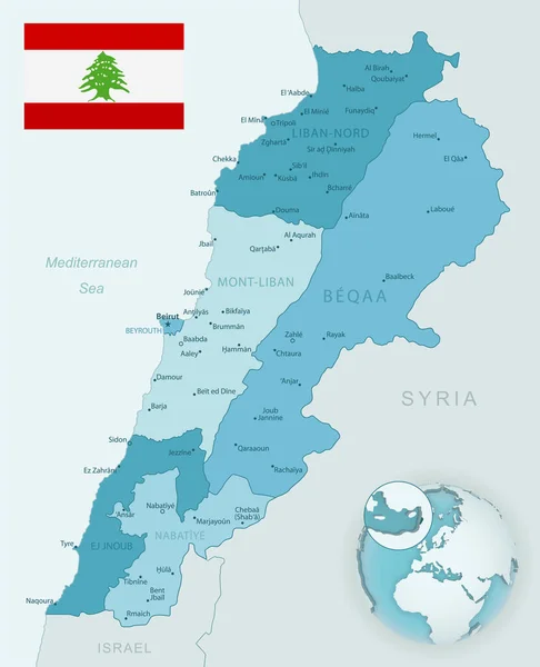
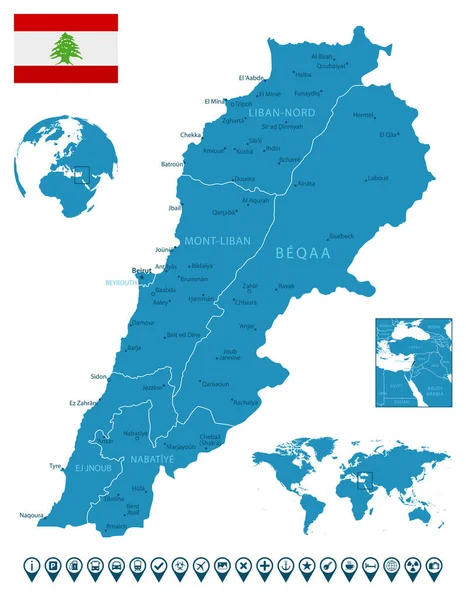
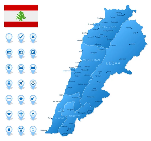
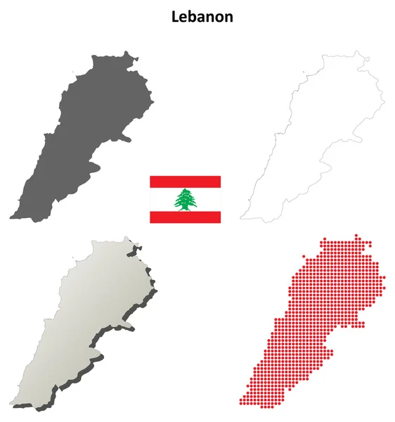
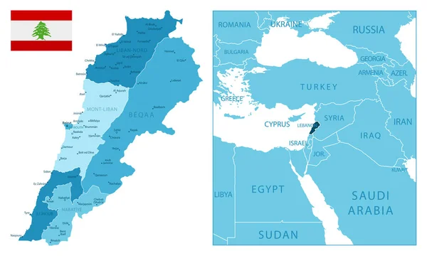
Stock vector Lebanon administrative blue-green map with country flag and location on a globe. Vector illustration
Published:
Jun.23, 2020 07:14:31
Author:
gt29
Views:
4
Downloads:
0
File type:
vector
/
eps
File size:
15 MB
Orginal size:
5291
x
6525
px
Available sizes:
S
(405 x 500)
M
(811 x 1000)
L
(1622 x 2000)
XL
(5291 x 6525)
VECT
(5291 x 6525)
EL0
(5291 x 6525)
Level:
bronze
Download Vector
Vector topics:
Green
White
Blue
Vector
Background
Set
Business
Travel
Pattern
Border
Weather
Flag
3d
Icon
Earth
World
Tourism
Globe
Collection
Layout
Country
Map
Cartography
Geography
Continent
Separation
Asia
State
Political
Administrative
Israel
Marker
Divisions
Syria
Lebanon
Hemisphere
BEIRUT
Blue Green
Lebanese
Provinces
Territories
Tripoli
Municipalities
Middle East
Lebanon Flag
Lebanon Map
Administrative Divisions
Baabda
Zahla
Similar stock vectors
Blue-green Detailed Map Of Lebanon Administrative Divisions With Country Flag And Location On The Globe. Vector Illustration
5291 × 6525
Lebanon - Detailed Blue Country Map With Cities, Regions, Location On World Map And Globe. Infographic Icons. Vector Illustration
5734 × 7371
Blue Map Of Lebanon Administrative Divisions With Travel Infographic Icons. Vector Illustration
5722 × 5331
Lebanon Outline Map Set
4708 × 5022
Lebanon - Highly Detailed Blue Map. Vector Illustration
8733 × 5251
Lebanon Map Flag Design Vector Illustration
5000 × 5001
Flag Lebanese Republic From Brush Strokes And Blank Map Lebanon. High Quality Map Lebanon And Flag On Transparent Background. Stock Vector. Vector Illustration EPS10.
5000 × 5000
Lebanon Map, Black And White Detailed Outline Regions Of The Country. Vector Illustration
5291 × 6525