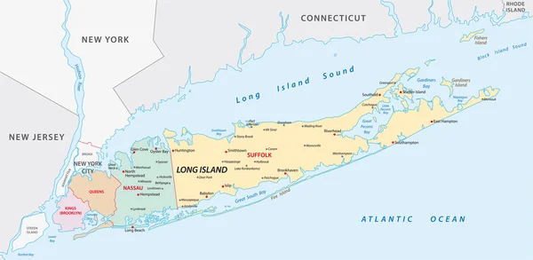
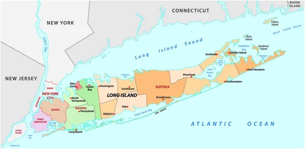
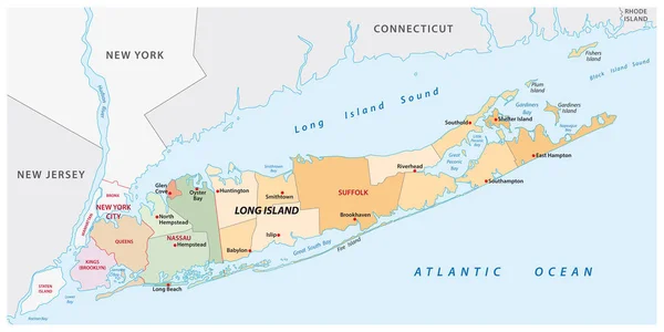
Stock vector long island administrative and political vector map
Published: Jun.02, 2020 09:54:03
Author: Lesniewski
Views: 458
Downloads: 5
File type: vector / eps
File size: 1.07 MB
Orginal size: 6198 x 3100 px
Available sizes:
Level: bronze