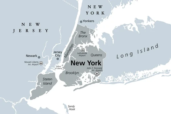
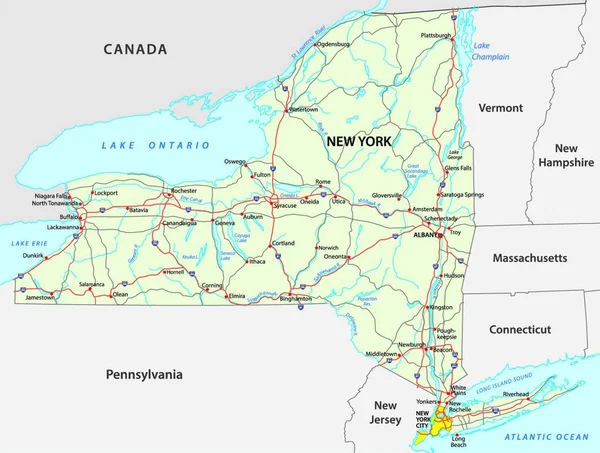
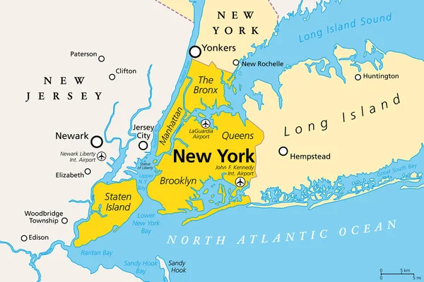
Stock vector New York City, political map. Most populous city in the United States, located in the state of New York. Manhattan, Bronx, Queens, Brooklyn and Staten Island. English labeling. Illustration. Vector.
Published: Apr.01, 2020 08:54:05
Author: Furian
Views: 532
Downloads: 8
File type: vector / eps
File size: 2.04 MB
Orginal size: 9000 x 6000 px
Available sizes:
Level: silver