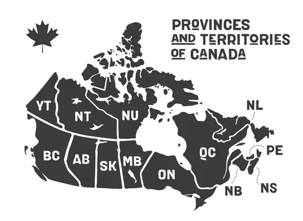
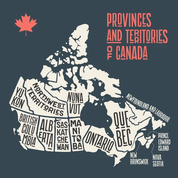
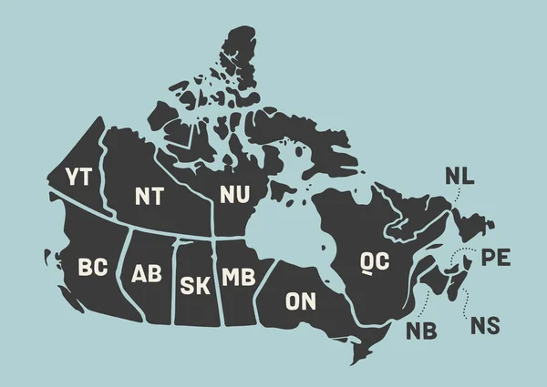
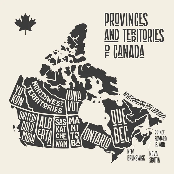
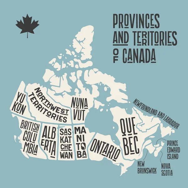
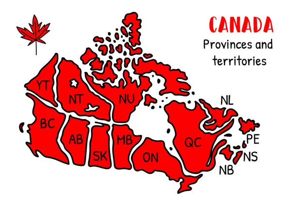
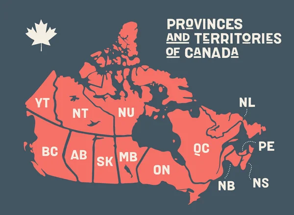
Stock vector Map Canada. Poster map of provinces and territories of Canada
Published: Sep.16, 2019 10:20:02
Author: FoxysGraphic
Views: 34
Downloads: 2
File type: vector / eps
File size: 0.68 MB
Orginal size: 6000 x 4400 px
Available sizes:
Level: silver