Home
Images
Vectors
Videos
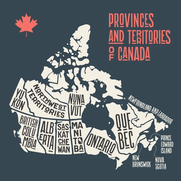
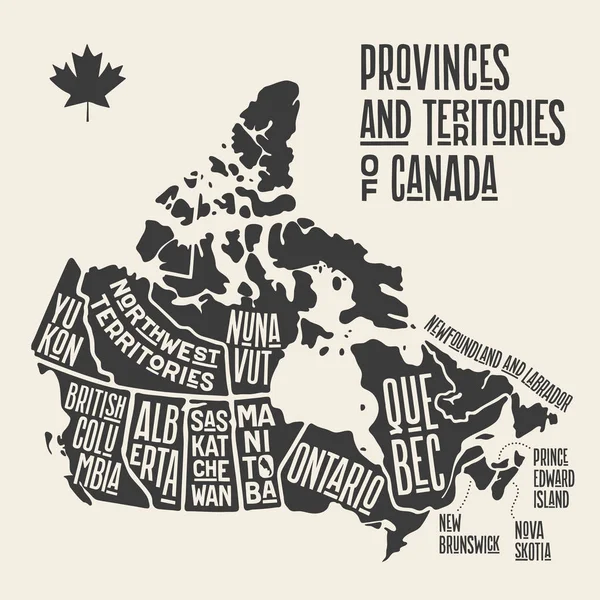
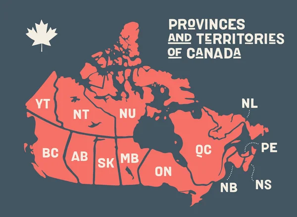
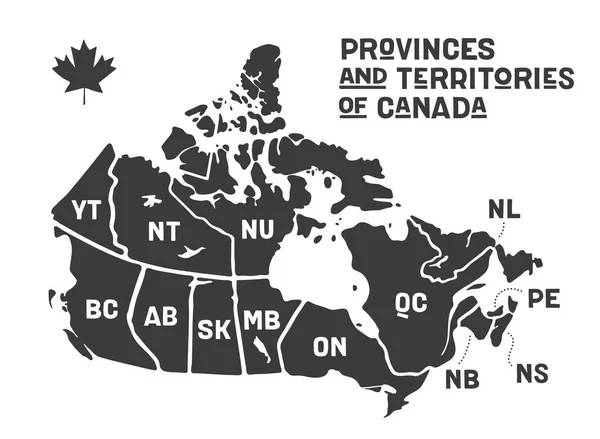
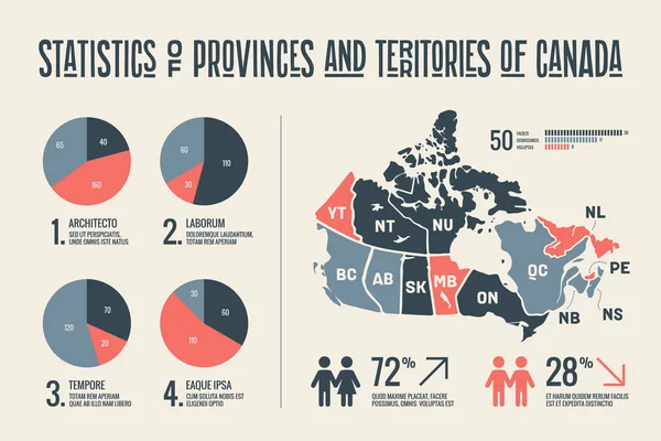
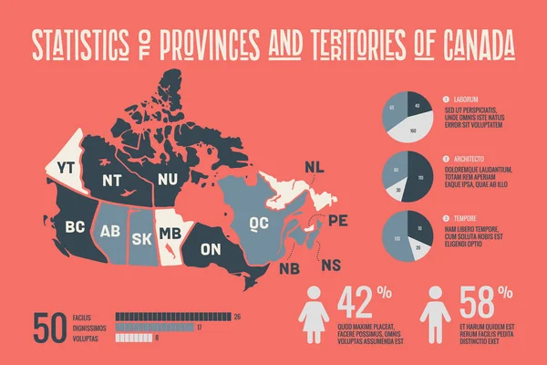
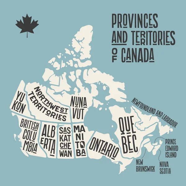
Stock vector Map Canada. Poster map of provinces and territories of Canada. Black and white print map of Canada for t-shirt, poster or geographic themes. Hand-drawn black map with provinces. Vector Illustration
Published:
Sep.10, 2019 06:50:18
Author:
FoxysGraphic
Views:
8
Downloads:
0
File type:
vector
/
eps
File size:
1.03 MB
Orginal size:
6000
x
6000
px
Available sizes:
S
(500 x 500)
M
(1000 x 1000)
L
(2000 x 2000)
XL
(6000 x 6000)
VECT
(6000 x 6000)
EL0
(6000 x 6000)
Level:
silver
Download Vector
Vector topics:
Vector
Background
Graphic
Illustration
Design
Art
Travel
Black
Creativity
Silhouette
Border
Retro
Vintage
Concept
Icon
City
Text
Contour
Drawing
North
Print
Outline
Country
Map
National
State
Poster
Symbols
Signs
America
Political
Canada
States
Toronto
Territory
Typography
Atlas
Province
Nation
Ontario
Vancouver
Quebec
Alberta
Manitoba
North America
Canada Map
Map Vector
Similar stock vectors
Map Canada. Poster Map Of Provinces And Territories Of Canada. Black And White Print Map Of Canada For T-shirt, Poster Or Geographic Themes. Hand-drawn Black Map With Provinces. Vector Illustration
5000 × 5000
Map Canada. Poster Map Of Provinces And Territories Of Canada. Black And White Print Map Of Canada For T-shirt, Poster Or Geographic Themes. Hand-drawn Black Map With Provinces. Vector Illustration
6000 × 6000
Map Canada. Poster Map Of Provinces And Territories Of Canada
6000 × 4400
Map Canada. Poster Map Of Provinces And Territories Of Canada. Black And White Print Map Of Canada For T-shirt, Poster Or Geographic Themes. Hand-drawn Black Map With Provinces. Vector Illustration
6000 × 4400
Happy Canada Day Illustration, Vector Illustration
2480 × 2480
Map Canada. Poster Map Of Provinces And Territories Of Canada. Black And White Print Map Of Canada For T-shirt, Poster Or Geographic Themes. Hand-drawn Black Map With Provinces. Vector Illustration
6000 × 4000
Map Canada. Poster Map Of Provinces And Territories Of Canada. Black And White Print Map Of Canada For T-shirt, Poster Or Geographic Themes. Hand-drawn Black Map With Provinces. Vector Illustration
6000 × 4000
Canada Higt Detailed Map With Subdivisions. Administrative Map Of Canada With Districts And Cities Name, Colored By States And Administrative Districts. Vector Illustration.
4000 × 5000