photo free
Home Images Vectors Videos

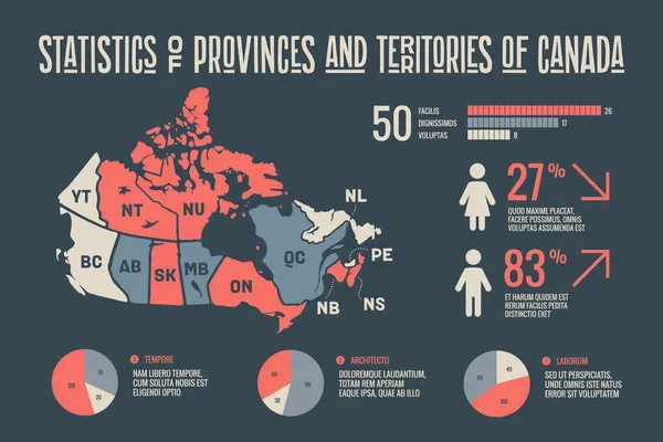
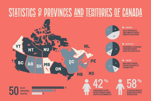
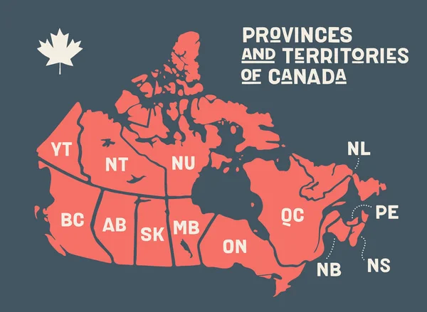
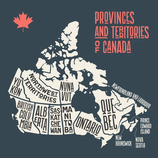
Stock vector Map Canada. Poster map of provinces and territories of Canada. Black and white print map of Canada for t-shirt, poster or geographic themes. Hand-drawn black map with provinces. Vector Illustration
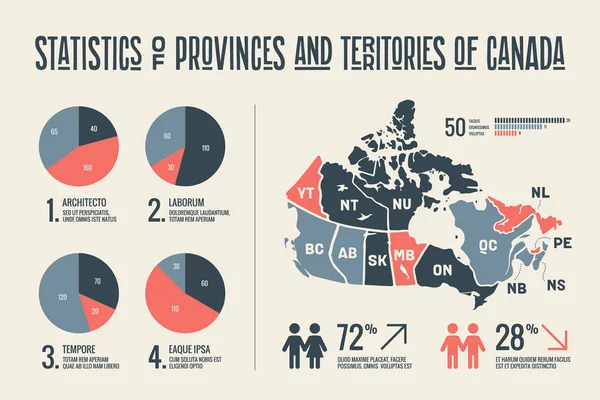
Stock vector Map Canada. Poster map of provinces and territories of Canada. Black and white print map of Canada for t-shirt, poster or geographic themes. Hand-drawn black map with provinces. Vector Illustration
Published: Aug.23, 2019 08:21:29
Author: FoxysGraphic
Views: 27
Downloads: 1
File type: vector / eps
File size: 1.08 MB
Orginal size: 6000 x 4000 px
Available sizes:
S
(500 x 333)
M
(1000 x 667)
L
(2000 x 1333)
XL
(6000 x 4000)
VECT
(6000 x 4000)
EL0
(6000 x 4000)
Level: silver
Download Vector
Vector topics:

Similar stock vectors

stock vector Map Canada. Poster map of provinces and territories of Canada. Black and white print map of Canada for t-shirt, poster or geographic themes. Hand-drawn black map with provinces. Vector Illustration

Map Canada. Poster Map Of Provinces And Territories Of Canada. Black And White Print Map Of Canada For T-shirt, Poster Or Geographic Themes. Hand-drawn Black Map With Provinces. Vector Illustration

6000 × 4000
stock vector Map Canada. Poster map of provinces and territories of Canada

Map Canada. Poster Map Of Provinces And Territories Of Canada

6000 × 4400
stock vector Infographics of Canada map, individual states vector

Infographics Of Canada Map, Individual States Vector

5649 × 3600
stock vector Four Canadian Maps

Four Canadian Maps

4400 × 3921
stock vector Canada map with borders, cities, capital and administrative divisions. Infographic vector map. Editable layers clearly labeled.

Canada Map With Borders, Cities, Capital And Administrative Divisions. Infographic Vector Map. Editable Layers Clearly Labeled.

3000 × 3000
stock vector Map Canada. Poster map of provinces and territories of Canada. Black and white print map of Canada for t-shirt, poster or geographic themes. Hand-drawn black map with provinces. Vector Illustration

Map Canada. Poster Map Of Provinces And Territories Of Canada. Black And White Print Map Of Canada For T-shirt, Poster Or Geographic Themes. Hand-drawn Black Map With Provinces. Vector Illustration

5000 × 5000